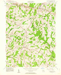
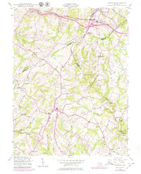
1944 Map of Damascus
USGS Topo · Published 1962About this map
Damascus sits at a geographic crossroads in the Maryland Piedmont, where the headwaters of major river systems emerge from the ridges. This mid-century survey shows the area during a period of transition, with agricultural patterns still defining the landscape between Frederick and Carroll counties. The northern edge is dominated by the industrial corridor of the Baltimore and Ohio RR, which skirts Mount Airy and Ridgeville. From the high ground at Parrs Spring, water drains into the South Branch Patapsco River, while further south, the Patuxent River and Great Seneca Creek begin their descent toward the Chesapeake. Small rural settlements like Claggettsville, Browningsville, and Kemptown are interconnected by a maturing road network, reflecting the longstanding importance of these upland communities as trade and social hubs before the arrival of modern suburban sprawl.
Find a feature on this map
36 named features on this map. Tap any name to fly to it.
Don’t see what you’re looking for? This feature index may not catch every label — zoom into the map to look around manually.
Map Details
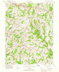
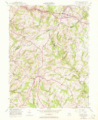
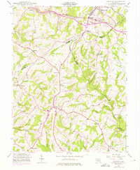
Editions of this 1944 Damascus Map
5 editions found
Other maps of this area

1893 · Frederick
USGS Topo · 1:125,000

1894 · Frederick
USGS Topo · 1:125,000

1908 · Rockville
USGS Topo · 1:62,500

1908 · Seneca
USGS Topo · 1:62,500

1908 · Ijamsville
USGS Topo · 1:62,500

1909 · Mount Airy
USGS Topo · 1:62,500

1909 · Ijamsville
USGS Topo · 1:62,500

1923 · Rockville
USGS Topo · 1:62,500

1942 · Frederick
USGS Topo · 1:62,500

1944 · Walkersville
USGS Topo · 1:31,680