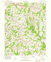
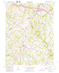
1944 Map of Damascus
USGS Topo · Published 1966About this map
Mount Airy and Ridgeville serve as northern anchor points for this 1940s landscape where the borders of Frederick, Carroll, Howard, and Montgomery counties converge. The Baltimore and Ohio RR cuts through the northern section, passing by Parrsville and the industrial-sounding Plane No 4. This area represents a critical watershed divide, where the headwaters of the Patapsco River and Patuxent River begin their descent toward the Chesapeake, separated by the high ground of the Parrs Ridge.
Find a feature on this map
33 named features on this map. Tap any name to fly to it.
Don’t see what you’re looking for? This feature index may not catch every label — zoom into the map to look around manually.
Map Details
Editions of this 1944 Damascus Map
5 editions found
Other maps of this area

1893 · Frederick
USGS Topo · 1:125,000

1894 · Frederick
USGS Topo · 1:125,000

1908 · Rockville
USGS Topo · 1:62,500

1908 · Seneca
USGS Topo · 1:62,500

1908 · Ijamsville
USGS Topo · 1:62,500

1909 · Mount Airy
USGS Topo · 1:62,500

1909 · Ijamsville
USGS Topo · 1:62,500

1923 · Rockville
USGS Topo · 1:62,500

1942 · Frederick
USGS Topo · 1:62,500

1944 · Walkersville
USGS Topo · 1:31,680