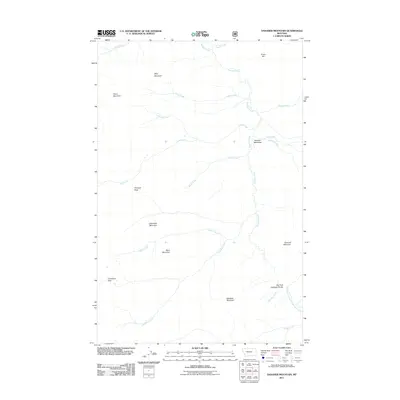
2011 Map of Danaher Mountain
USGS Topo · Published 2011About this map
Danaher Mountain and its surrounding peaks define this high-country landscape in Lewis and Clark County, where the Continental Divide separates major western Montana watersheds. This 2011 survey documents a topography of significant elevation changes, from the alpine heights of Alloy Mountain and Grace Mountain down to the riparian corridor of Danaher Creek. The map details the headwaters of several drainages, including the Dry Fork North Fork Blackfoot River and the source waters of Limestone Creek. A notable topographical feature is the Dry Fork Flathead Divide, a geographical boundary marking the split between river systems. The open area of Danaher Meadows contrasts with the surrounding steep terrain of Pinnacle Peak and Apex Mountain, providing a detailed look at the drainage patterns and mountain passes like Limestone Pass that have historically guided movement through this backcountry.
Find a feature on this map
25 named features on this map. Tap any name to fly to it.
Don’t see what you’re looking for? This feature index may not catch every label — zoom into the map to look around manually.
Map Details
Editions of this 2011 Danaher Mountain Map
This is the sole edition of this map. No revisions or reprints were ever made.
Other maps of this area

1902 · Ovando
USGS Topo · 1:125,000

1903 · Coopers Lake
USGS Topo · 1:125,000

1905 · Ovando
USGS Topo · 1:125,000

1955 · Choteau
USGS Topo · 1:250,000

1957 · Choteau
USGS Topo · 1:250,000

1958 · Choteau
USGS Topo · 1:250,000

1962 · Choteau
USGS Topo · 1:250,000

1968 · Spread Mountain
USGS Topo · 1:24,000

1968 · Dunham Point
USGS Topo · 1:24,000
1968 · Lake Mountain
USGS Topo · 1:24,000