
1968 Map of Dunham Point
USGS Topo · Published 1970About this map
Lolo National Forest dominates this topographic study of the Montana backcountry, revealing a landscape defined by its network of pack trails and remote US Forest Service outposts. The map documents vital fire and management infrastructure, including the Center Ridge Lookout Tower and the Monture Creek Guard Station. A complex system of drainage and movement is evident through features like the Dunham Cr Ditch and numerous named trails such as the Lodgepole Trail (Pack).
Find a feature on this map
37 named features on this map. Tap any name to fly to it.
Don’t see what you’re looking for? This feature index may not catch every label — zoom into the map to look around manually.
Map Details
Editions of this 1968 Dunham Point Map
This is the sole edition of this map. No revisions or reprints were ever made.
Other maps of this area

1902 · Ovando
USGS Topo · 1:125,000

1905 · Ovando
USGS Topo · 1:125,000

1955 · Choteau
USGS Topo · 1:250,000

1957 · Choteau
USGS Topo · 1:250,000

1958 · Choteau
USGS Topo · 1:250,000

1962 · Choteau
USGS Topo · 1:250,000
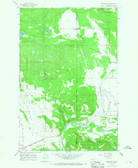
1965 · Woodworth
USGS Topo · 1:24,000

1965 · Morrell Mountain
USGS Topo · 1:24,000

1968 · Spread Mountain
USGS Topo · 1:24,000
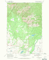
1968 · Ovando Mountain
USGS Topo · 1:24,000