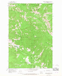
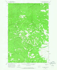
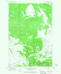
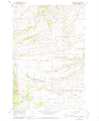
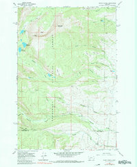
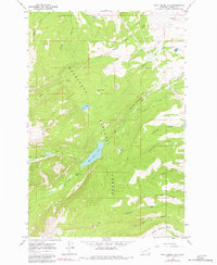
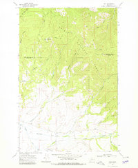
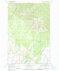
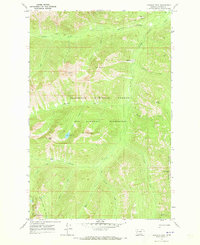
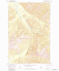
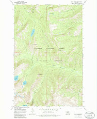
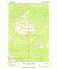
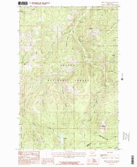
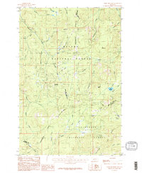
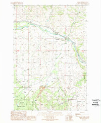
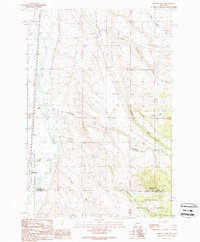
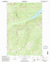
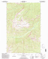
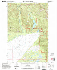
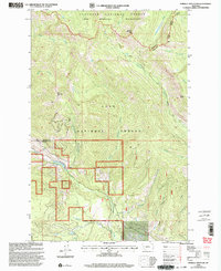
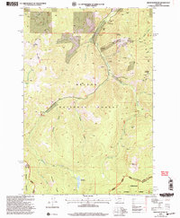
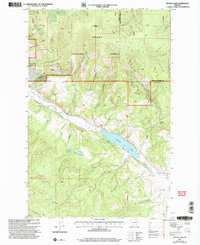
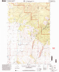
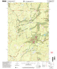
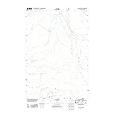
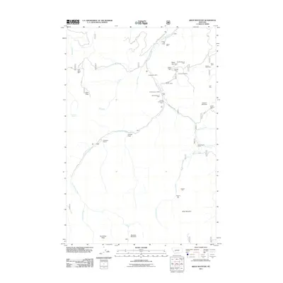
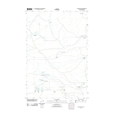
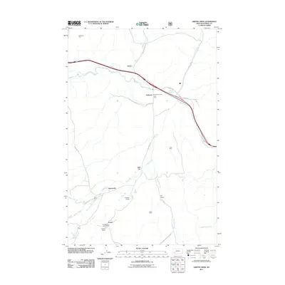
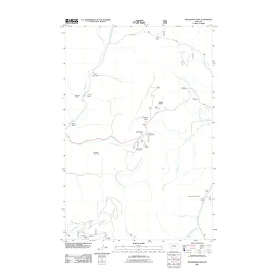
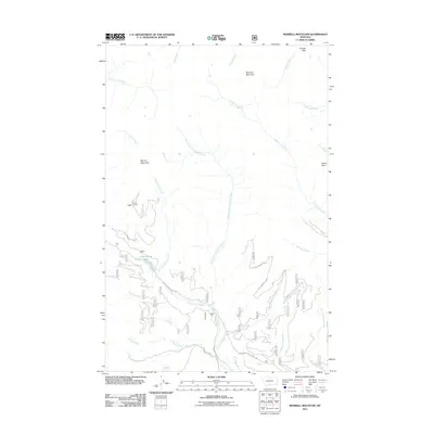
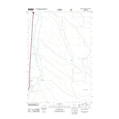
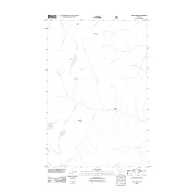
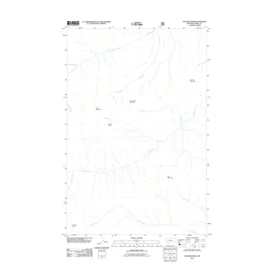
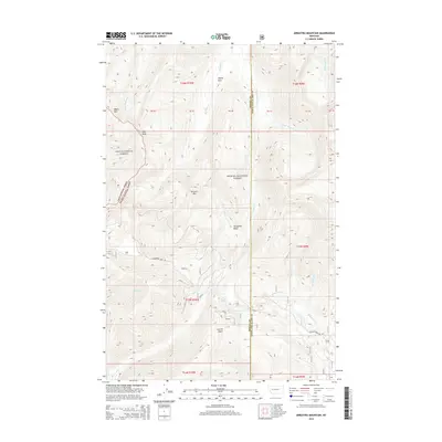
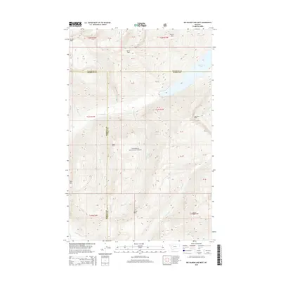
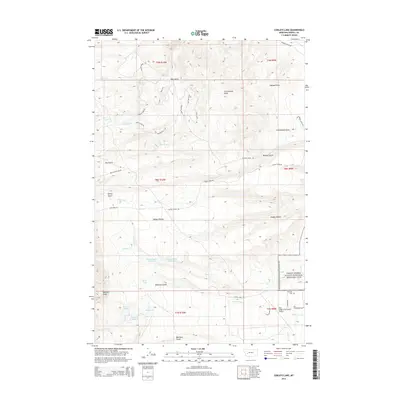
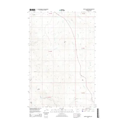
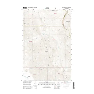
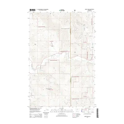
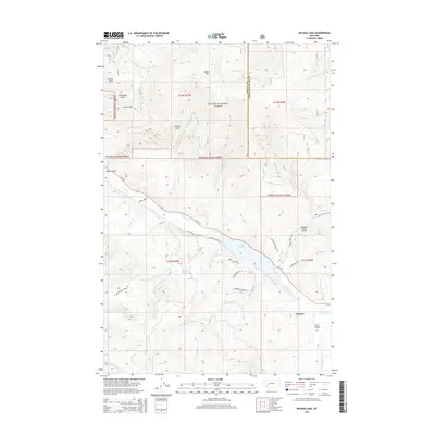
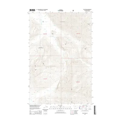
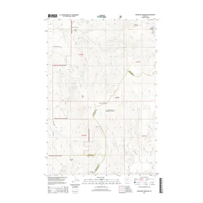
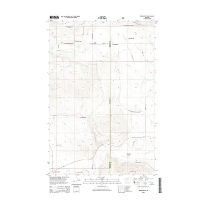
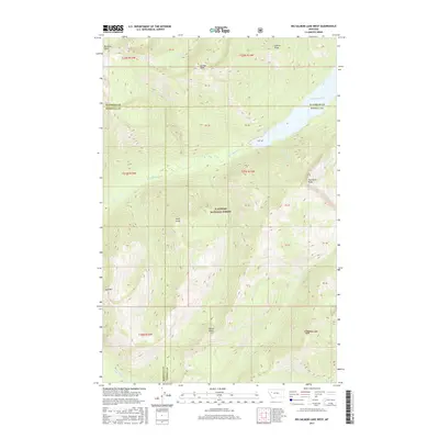
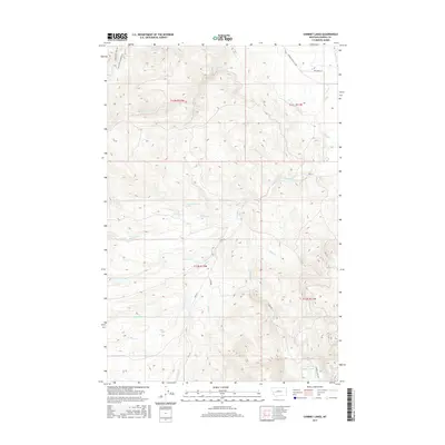
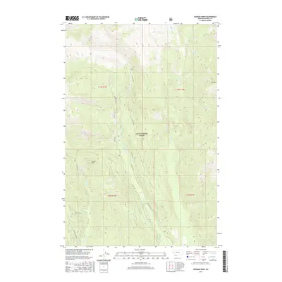
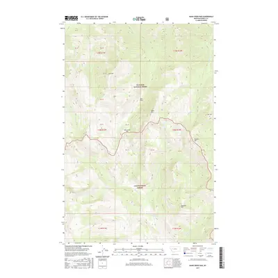
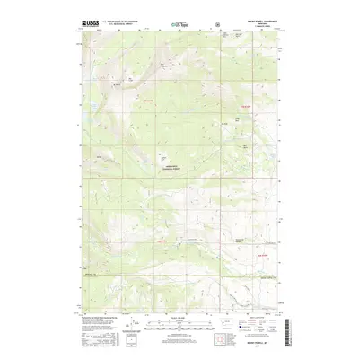
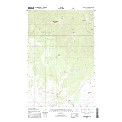
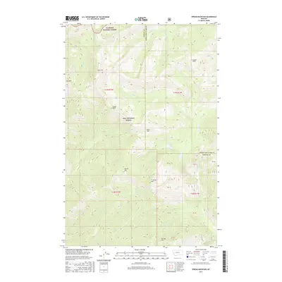
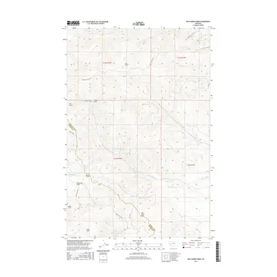
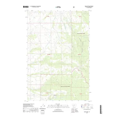
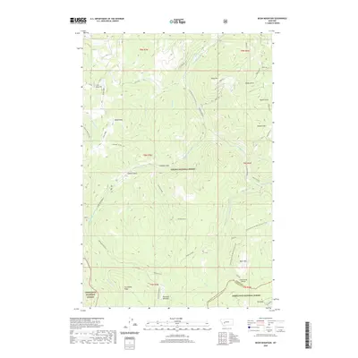
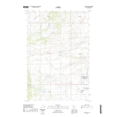
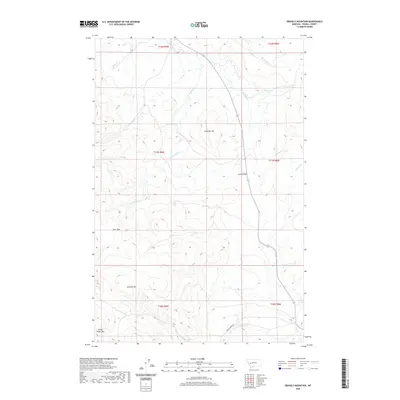
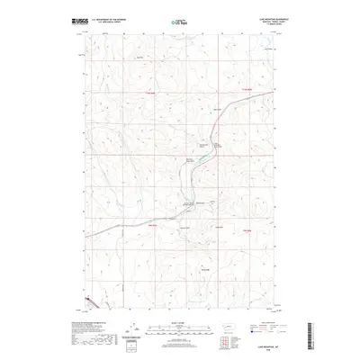
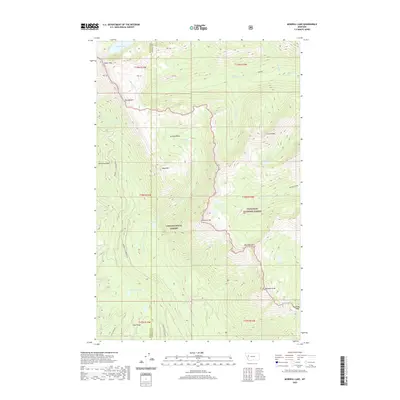
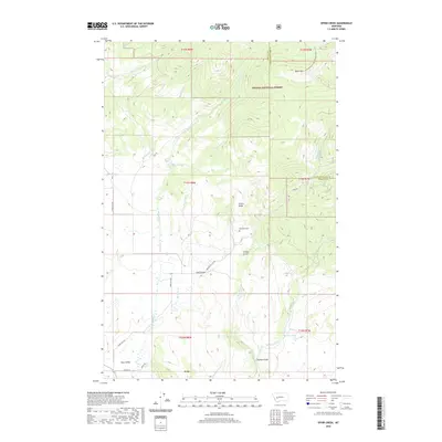
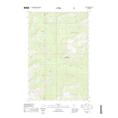
1965 Map of Morrell Mountain
USGS Topo · Published 1968About this map
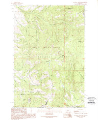
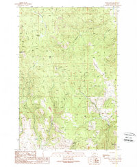
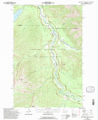
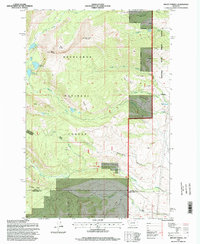
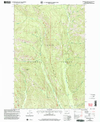
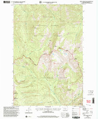
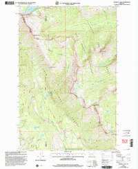
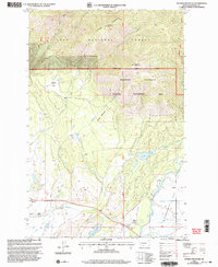
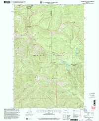
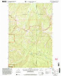
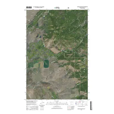
Bob Marshall Wilderness and the Flathead National Forest dominate this mid-1960s landscape, illustrating a remote corridor of western Montana focused on conservation and backcountry access. The survey centers on the high elevations of Morrell Mountain and Monture Mountain, where early fire detection infrastructure is evidenced by the Morrell Lookout. This was an era before heavy motorized access in these protected lands, where travel relied on a network of historical routes like the Dunham Trail (Pack) and Lodgepole Trail (Pack). The drainage patterns of Cottonwood Creek and the North Fork define the rugged topography, flowing toward Cottonwood Lakes near the Powell and Missoula county line. The map captures the transition between wilderness and managed forest land during a period of expanding recreational interest in the American West.
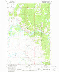
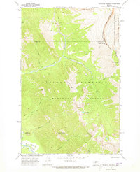
Find a feature on this map
29 named features on this map. Tap any name to fly to it.
Don’t see what you’re looking for? This feature index may not catch every label — zoom into the map to look around manually.
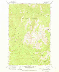
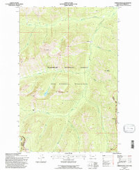
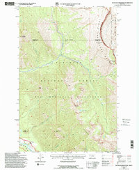
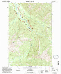
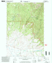
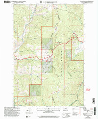
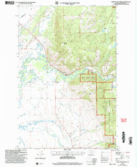
Map Details
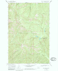
Editions of this 1965 Morrell Mountain Map
This is the sole edition of this map. No revisions or reprints were ever made.
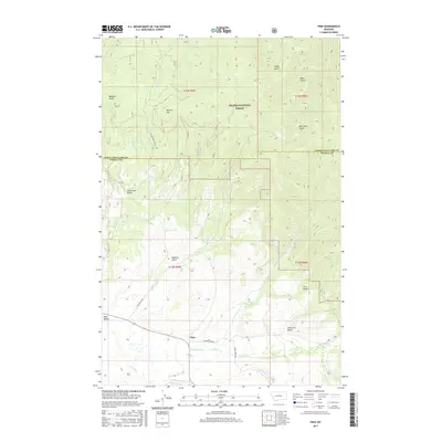
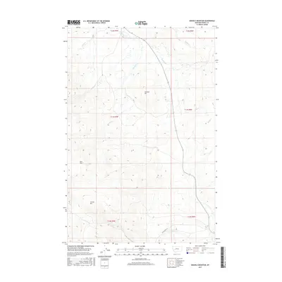
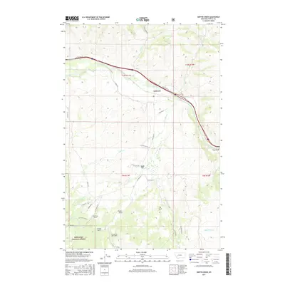
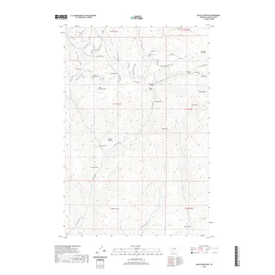
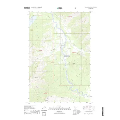
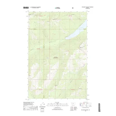
Historical Maps of Missoula County Through Time
264 maps found
1965 Browns Lake
Powell County, MT
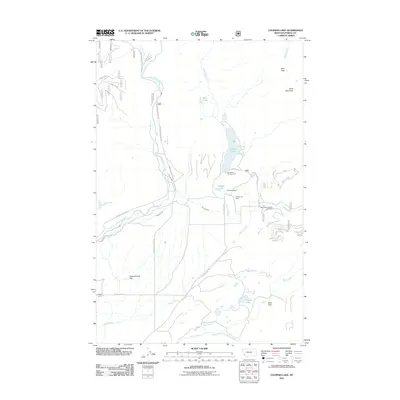
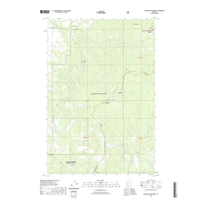
1965 Chamberlain Mountain
Powell County, MT
1965 Chimney Lakes
Powell County, MT
1965 Morrell Mountain
Powell County, MT
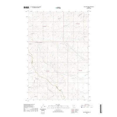
1965 Wild Horse Parks
Powell County, MT
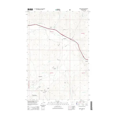
1965 Woodworth
Powell County, MT
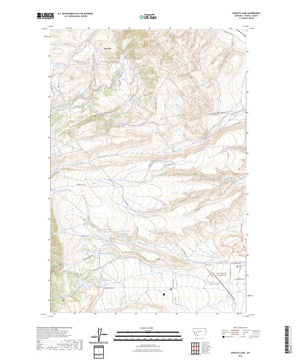
1967 Conleys Lake
Powell County, MT
1967 Mount Powell
Powell County, MT
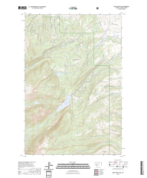
1967 Rock Creek Lake
Powell County, MT
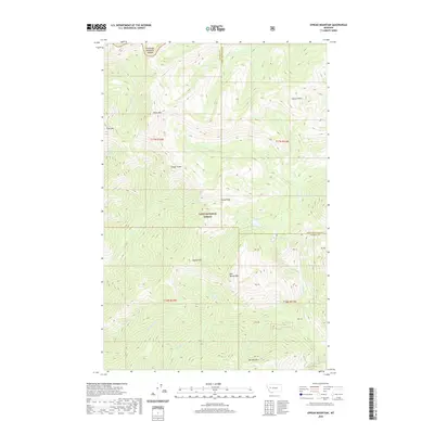
1968 Arrastra Mountain
Powell County, MT
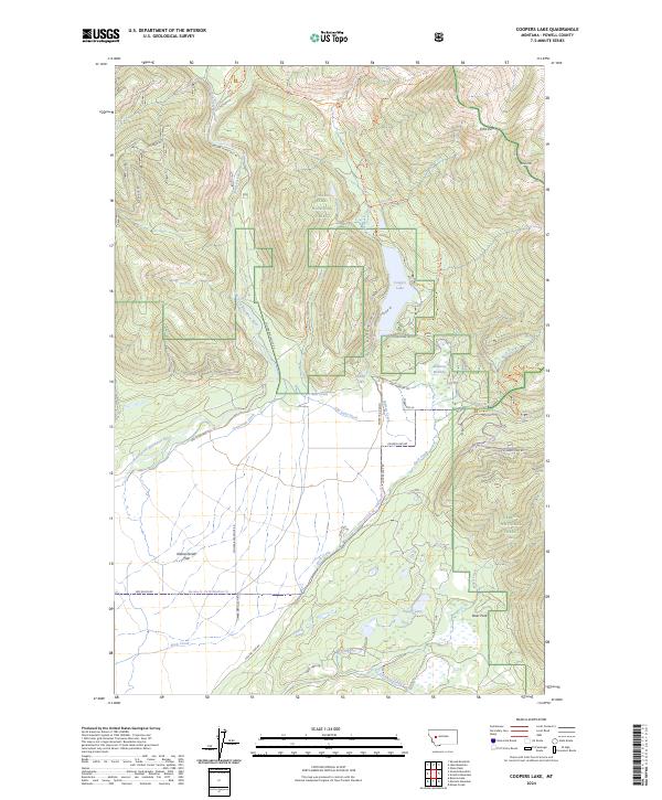
1968 Coopers Lake
Powell County, MT
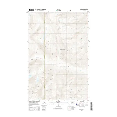
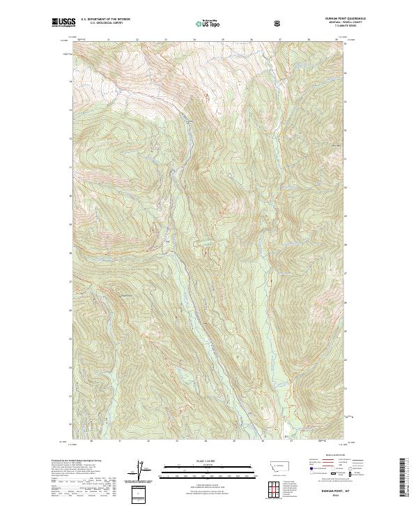
1968 Dunham Point
Powell County, MT
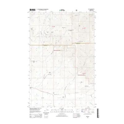
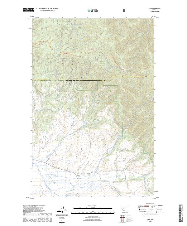
1968 Finn
Powell County, MT
1968 Marcum Mountain
Powell County, MT
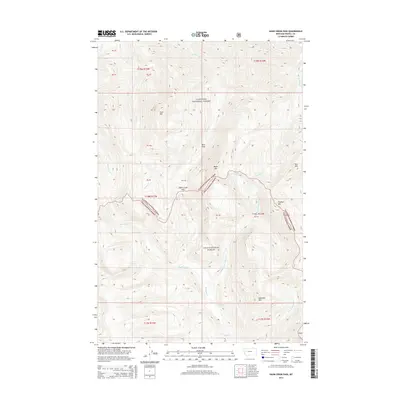
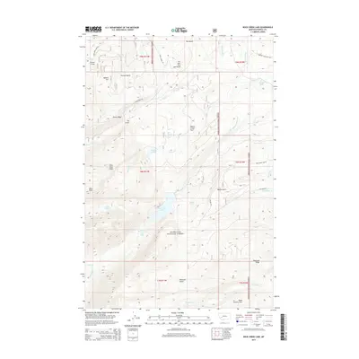
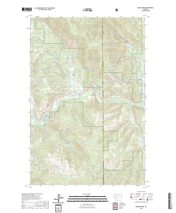
1968 Moose Creek
Powell County, MT
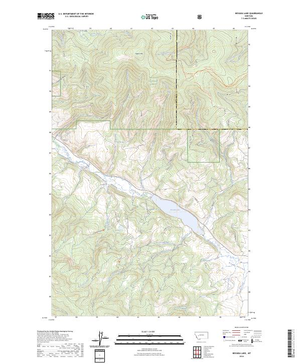
1968 Nevada Lake
Powell County, MT
1968 Ovando Mountain
Powell County, MT
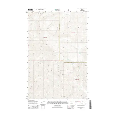
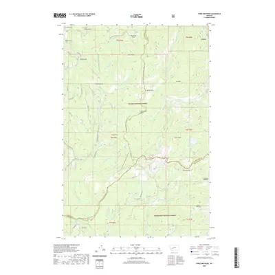
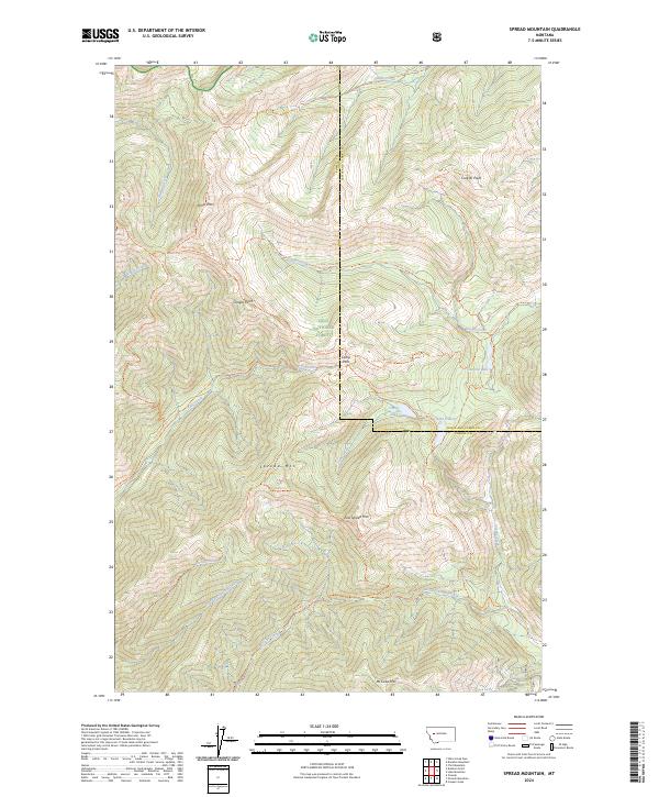
1968 Spread Mountain
Powell County, MT
1970 Big Salmon Lake East
Powell County, MT
1970 Big Salmon Lake West
Powell County, MT
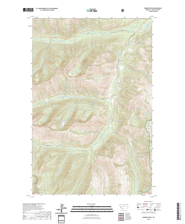
1970 Crimson Peak
Powell County, MT
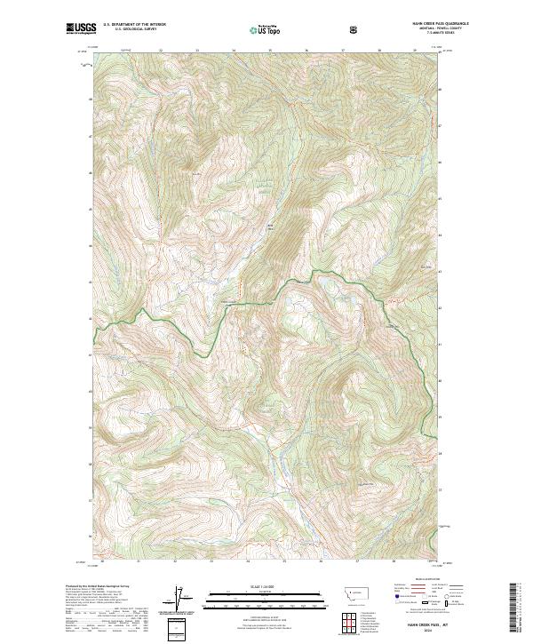
1970 Hahn Creek Pass
Powell County, MT
1970 Haystack Mountain
Powell County, MT
1970 Morrell Lake
Powell County, MT
1970 Pilot Peak
Powell County, MT
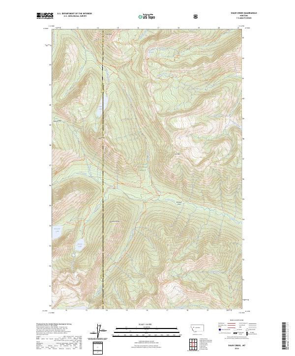
1970 Shaw Creek
Powell County, MT
1970 Una Mountain
Powell County, MT
1985 Bison Mountain
Powell County, MT
1985 Three Brothers
Powell County, MT
1989 Baggs Creek
Powell County, MT
1989 Bailey Mountain
Powell County, MT
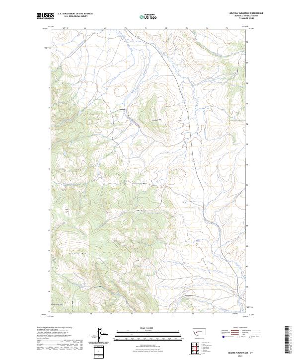
1989 Gravely Mountain
Powell County, MT
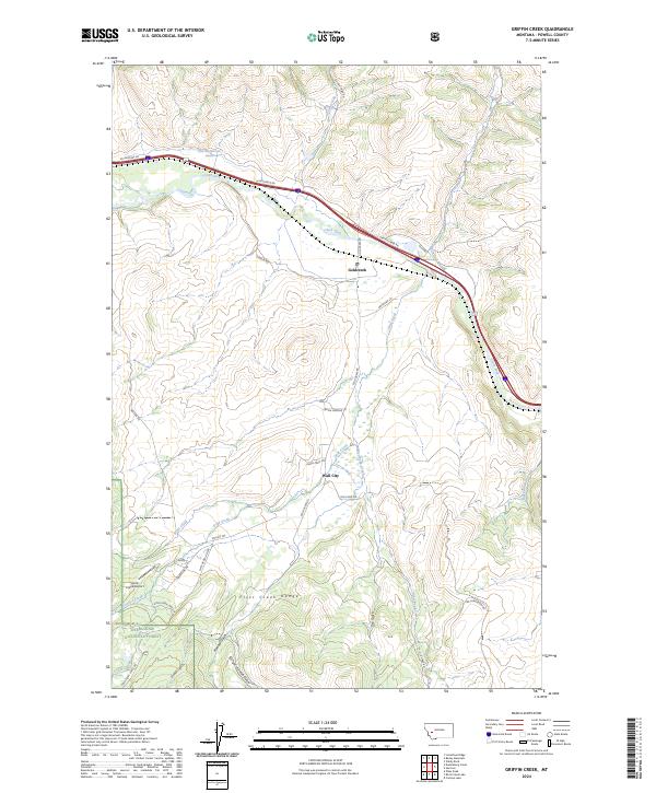
1989 Griffin Creek
Powell County, MT
1989 Luke Mountain
Powell County, MT
1989 Mac Donald Pass
Powell County, MT
1989 Ophir Creek
Powell County, MT
1989 Orofino Creek
Powell County, MT
1989 Sugarloaf Mountain
Powell County, MT
1989 Windy Rock
Powell County, MT
1994 Big Salmon Lake East
Powell County, MT
1994 Big Salmon Lake West
Powell County, MT
1994 Crimson Peak
Powell County, MT
1994 Haystack Mountain
Powell County, MT
1994 Pilot Peak
Powell County, MT
1994 Una Mountain
Powell County, MT
1996 Baggs Creek
Powell County, MT
1996 Conleys Lake
Powell County, MT
1996 Griffin Creek
Powell County, MT
1996 Mount Powell
Powell County, MT
1996 Orofino Creek
Powell County, MT
1996 Rock Creek Lake
Powell County, MT
1996 Sugarloaf Mountain
Powell County, MT
1999 Coopers Lake
Powell County, MT
1999 Dunham Point
Powell County, MT
1999 Hahn Creek Pass
Powell County, MT
1999 Morrell Lake
Powell County, MT
1999 Morrell Mountain
Powell County, MT
1999 Ovando Mountain
Powell County, MT
1999 Spread Mountain
Powell County, MT

1999 Woodworth
Powell County, MT
2001 Arrastra Mountain
Powell County, MT
2001 Bison Mountain
Powell County, MT
2001 Finn
Powell County, MT
2001 Macdonald Pass
Powell County, MT
2001 Marcum Mountain
Powell County, MT

2001 Moose Creek
Powell County, MT
2001 Nevada Lake
Powell County, MT
2001 Ophir Creek
Powell County, MT
2001 Three Brothers
Powell County, MT
2011 Arrastra Mountain
Powell County, MT
2011 Baggs Creek
Powell County, MT
2011 Bailey Mountain
Powell County, MT
2011 Big Salmon Lake East
Powell County, MT
2011 Big Salmon Lake West
Powell County, MT
2011 Bison Mountain
Powell County, MT
2011 Browns Lake
Powell County, MT
2011 Chamberlain Mountain
Powell County, MT
2011 Chimney Lakes
Powell County, MT
2011 Conleys Lake
Powell County, MT
2011 Coopers Lake
Powell County, MT
2011 Crimson Peak
Powell County, MT
2011 Dunham Point
Powell County, MT

2011 Finn
Powell County, MT

2011 Gravely Mountain
Powell County, MT
2011 Griffin Creek
Powell County, MT
2011 Hahn Creek Pass
Powell County, MT
2011 Haystack Mountain
Powell County, MT
2011 Luke Mountain
Powell County, MT
2011 MacDonald Pass
Powell County, MT
2011 Marcum Mountain
Powell County, MT
2011 Moose Creek
Powell County, MT
2011 Morrell Lake
Powell County, MT
2011 Morrell Mountain
Powell County, MT
2011 Mount Powell
Powell County, MT
2011 Nevada Lake
Powell County, MT
2011 Ophir Creek
Powell County, MT
2011 Orofino Creek
Powell County, MT
2011 Ovando Mountain
Powell County, MT
2011 Pilot Peak
Powell County, MT
2011 Rock Creek Lake
Powell County, MT
2011 Shaw Creek
Powell County, MT
2011 Spread Mountain
Powell County, MT
2011 Sugarloaf Mountain
Powell County, MT
2011 Three Brothers
Powell County, MT
2011 Una Mountain
Powell County, MT
2011 Wild Horse Parks
Powell County, MT
2011 Windy Rock
Powell County, MT
2011 Woodworth
Powell County, MT
2014 Arrastra Mountain
Powell County, MT
2014 Baggs Creek
Powell County, MT
2014 Bailey Mountain
Powell County, MT
2014 Big Salmon Lake East
Powell County, MT
2014 Big Salmon Lake West
Powell County, MT
2014 Bison Mountain
Powell County, MT

2014 Browns Lake
Powell County, MT
2014 Chamberlain Mountain
Powell County, MT
2014 Chimney Lakes
Powell County, MT
2014 Conleys Lake
Powell County, MT
2014 Coopers Lake
Powell County, MT
2014 Crimson Peak
Powell County, MT
2014 Dunham Point
Powell County, MT
2014 Finn
Powell County, MT
2014 Gravely Mountain
Powell County, MT
2014 Griffin Creek
Powell County, MT
2014 Hahn Creek Pass
Powell County, MT
2014 Haystack Mountain
Powell County, MT
2014 Luke Mountain
Powell County, MT
2014 MacDonald Pass
Powell County, MT
2014 Marcum Mountain
Powell County, MT
2014 Moose Creek
Powell County, MT
2014 Morrell Lake
Powell County, MT
2014 Morrell Mountain
Powell County, MT
2014 Mount Powell
Powell County, MT
2014 Nevada Lake
Powell County, MT
2014 Ophir Creek
Powell County, MT
2014 Orofino Creek
Powell County, MT
2014 Ovando Mountain
Powell County, MT
2014 Pilot Peak
Powell County, MT
2014 Rock Creek Lake
Powell County, MT
2014 Shaw Creek
Powell County, MT
2014 Spread Mountain
Powell County, MT
2014 Sugarloaf Mountain
Powell County, MT
2014 Three Brothers
Powell County, MT
2014 Una Mountain
Powell County, MT
2014 Wild Horse Parks
Powell County, MT

2014 Windy Rock
Powell County, MT
2014 Woodworth
Powell County, MT

2017 Arrastra Mountain
Powell County, MT
2017 Baggs Creek
Powell County, MT
2017 Bailey Mountain
Powell County, MT
2017 Big Salmon Lake East
Powell County, MT
2017 Big Salmon Lake West
Powell County, MT
2017 Bison Mountain
Powell County, MT
2017 Browns Lake
Powell County, MT
2017 Chamberlain Mountain
Powell County, MT
2017 Chimney Lakes
Powell County, MT
2017 Conleys Lake
Powell County, MT
2017 Coopers Lake
Powell County, MT
2017 Crimson Peak
Powell County, MT
2017 Dunham Point
Powell County, MT
2017 Finn
Powell County, MT
2017 Gravely Mountain
Powell County, MT
2017 Griffin Creek
Powell County, MT
2017 Hahn Creek Pass
Powell County, MT
2017 Haystack Mountain
Powell County, MT
2017 Luke Mountain
Powell County, MT
2017 MacDonald Pass
Powell County, MT
2017 Marcum Mountain
Powell County, MT
2017 Moose Creek
Powell County, MT
2017 Morrell Lake
Powell County, MT
2017 Morrell Mountain
Powell County, MT
2017 Mount Powell
Powell County, MT
2017 Nevada Lake
Powell County, MT
2017 Ophir Creek
Powell County, MT
2017 Orofino Creek
Powell County, MT
2017 Ovando Mountain
Powell County, MT
2017 Pilot Peak
Powell County, MT
2017 Rock Creek Lake
Powell County, MT
2017 Shaw Creek
Powell County, MT
2017 Spread Mountain
Powell County, MT
2017 Sugarloaf Mountain
Powell County, MT
2017 Three Brothers
Powell County, MT
2017 Una Mountain
Powell County, MT
2017 Wild Horse Parks
Powell County, MT
2017 Windy Rock
Powell County, MT
2017 Woodworth
Powell County, MT
2020 Arrastra Mountain
Powell County, MT
2020 Baggs Creek
Powell County, MT
2020 Bailey Mountain
Powell County, MT
2020 Big Salmon Lake East
Powell County, MT
2020 Big Salmon Lake West
Powell County, MT
2020 Bison Mountain
Powell County, MT
2020 Browns Lake
Powell County, MT
2020 Chamberlain Mountain
Powell County, MT
2020 Chimney Lakes
Powell County, MT
2020 Conleys Lake
Powell County, MT
2020 Coopers Lake
Powell County, MT

2020 Crimson Peak
Powell County, MT
2020 Dunham Point
Powell County, MT
2020 Finn
Powell County, MT
2020 Gravely Mountain
Powell County, MT
2020 Griffin Creek
Powell County, MT
2020 Hahn Creek Pass
Powell County, MT
2020 Haystack Mountain
Powell County, MT
2020 Luke Mountain
Powell County, MT
2020 MacDonald Pass
Powell County, MT
2020 Marcum Mountain
Powell County, MT
2020 Moose Creek
Powell County, MT
2020 Morrell Lake
Powell County, MT
2020 Morrell Mountain
Powell County, MT
2020 Mount Powell
Powell County, MT
2020 Nevada Lake
Powell County, MT
2020 Ophir Creek
Powell County, MT
2020 Orofino Creek
Powell County, MT

2020 Ovando Mountain
Powell County, MT
2020 Pilot Peak
Powell County, MT
2020 Rock Creek Lake
Powell County, MT
2020 Shaw Creek
Powell County, MT
2020 Spread Mountain
Powell County, MT
2020 Sugarloaf Mountain
Powell County, MT
2020 Three Brothers
Powell County, MT

2020 Una Mountain
Powell County, MT
2020 Wild Horse Parks
Powell County, MT
2020 Windy Rock
Powell County, MT
2020 Woodworth
Powell County, MT
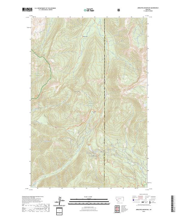
2024 Arrastra Mountain
Powell County, MT
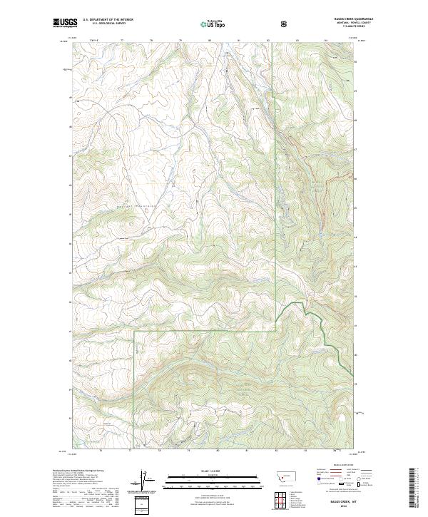
2024 Baggs Creek
Powell County, MT
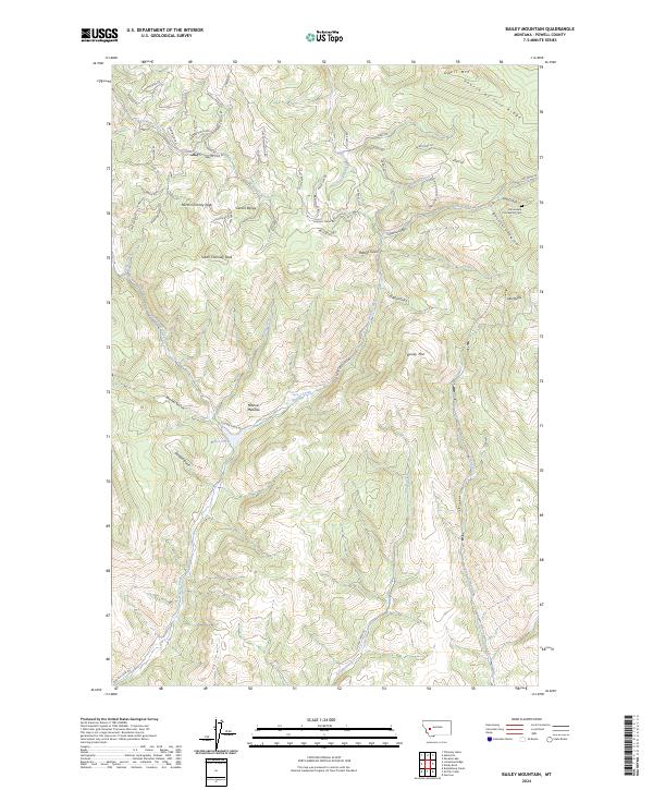
2024 Bailey Mountain
Powell County, MT
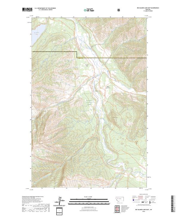
2024 Big Salmon Lake East
Powell County, MT
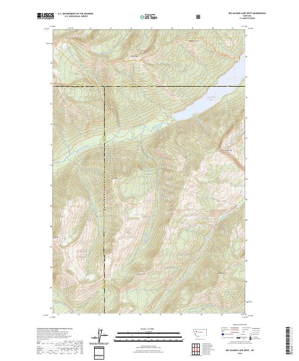
2024 Big Salmon Lake West
Powell County, MT
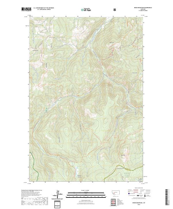
2024 Bison Mountain
Powell County, MT
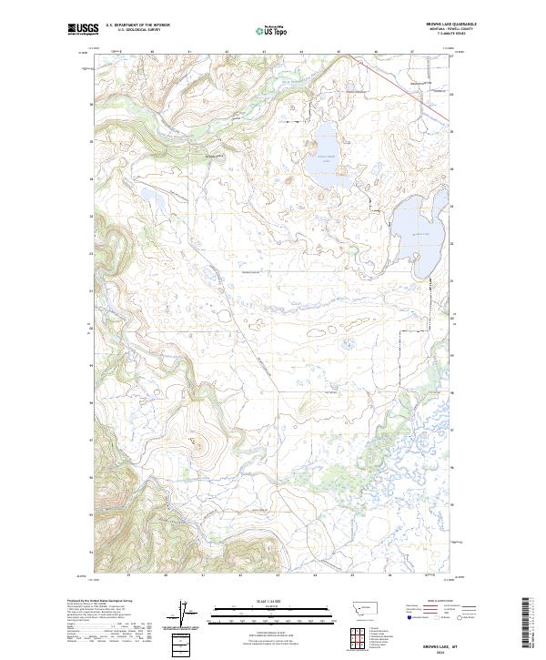
2024 Browns Lake
Powell County, MT
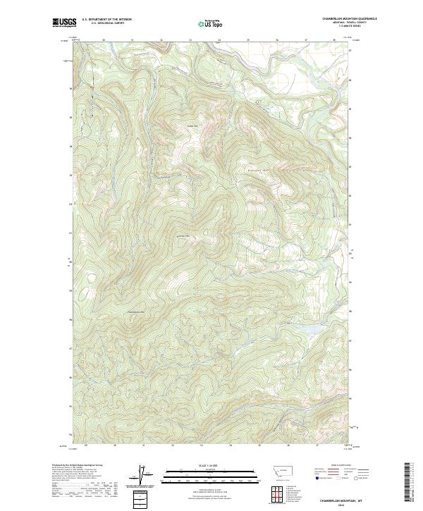
2024 Chamberlain Mountain
Powell County, MT
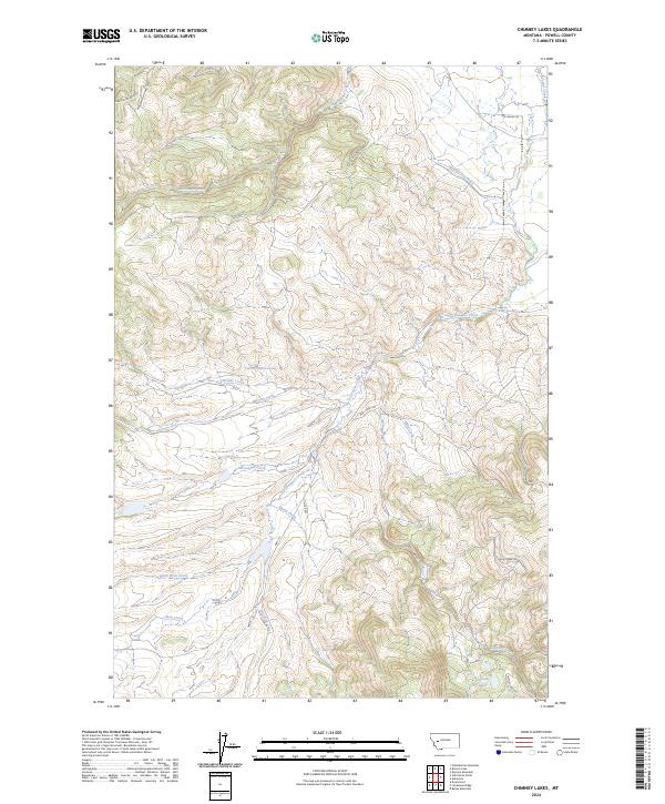
2024 Chimney Lakes
Powell County, MT
2024 Conleys Lake
Powell County, MT
2024 Coopers Lake
Powell County, MT
2024 Crimson Peak
Powell County, MT
2024 Dunham Point
Powell County, MT
2024 Finn
Powell County, MT
2024 Gravely Mountain
Powell County, MT
2024 Griffin Creek
Powell County, MT
2024 Hahn Creek Pass
Powell County, MT
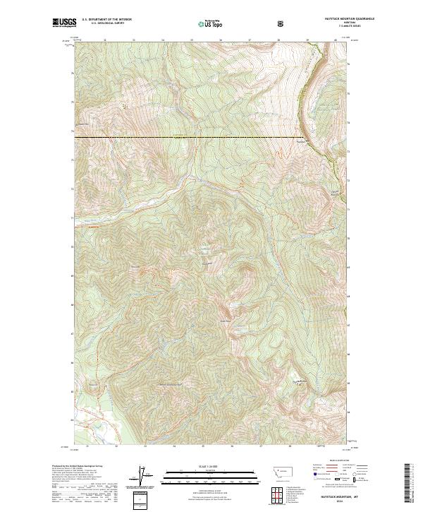
2024 Haystack Mountain
Powell County, MT
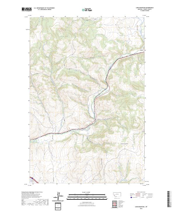
2024 Luke Mountain
Powell County, MT
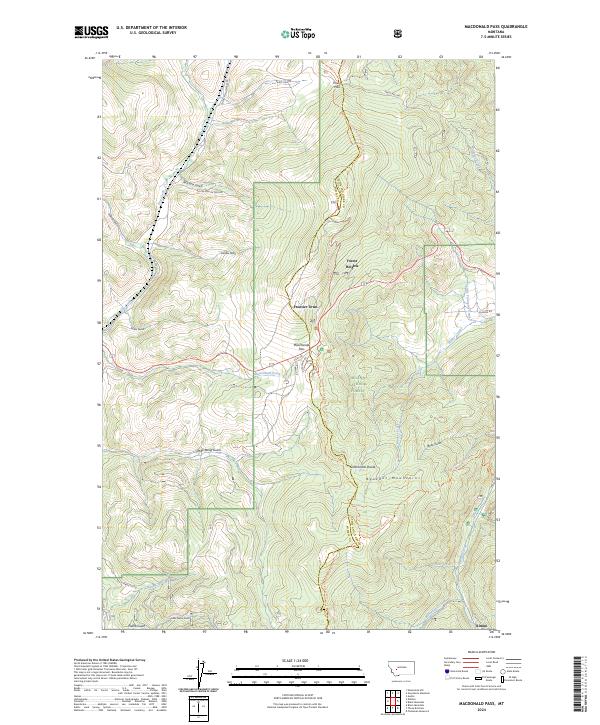
2024 MacDonald Pass
Powell County, MT
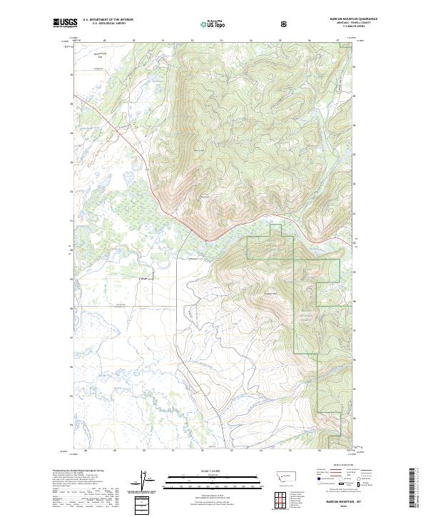
2024 Marcum Mountain
Powell County, MT
2024 Moose Creek
Powell County, MT
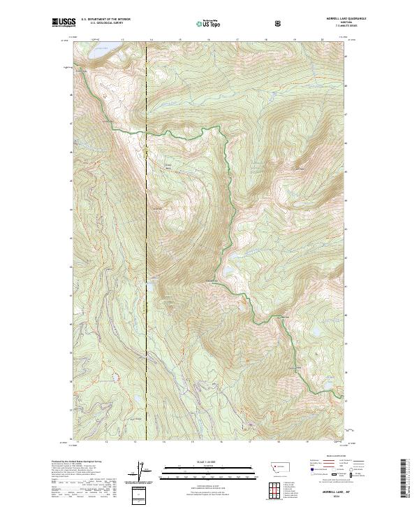
2024 Morrell Lake
Powell County, MT
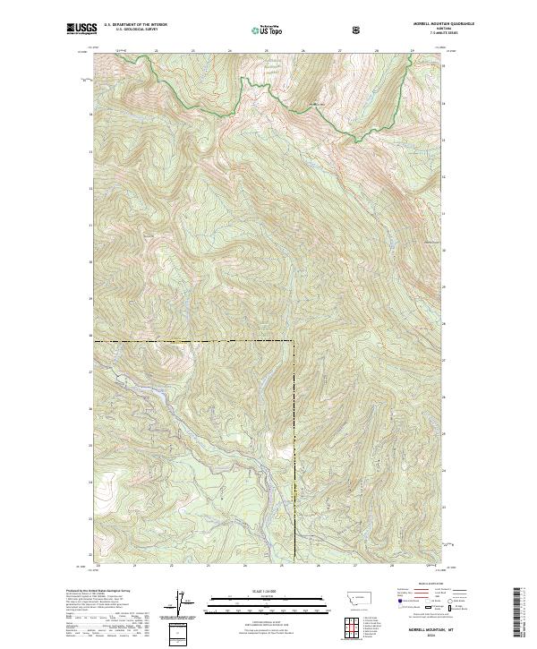
2024 Morrell Mountain
Powell County, MT
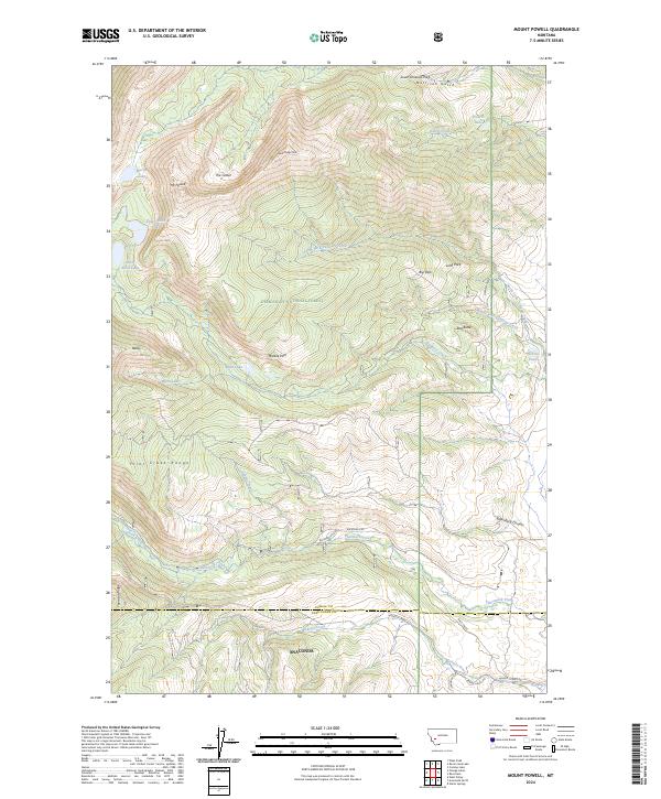
2024 Mount Powell
Powell County, MT
2024 Nevada Lake
Powell County, MT
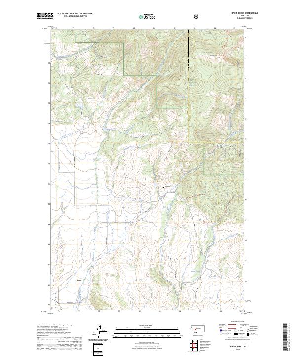
2024 Ophir Creek
Powell County, MT
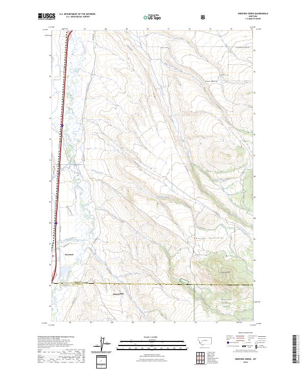
2024 Orofino Creek
Powell County, MT
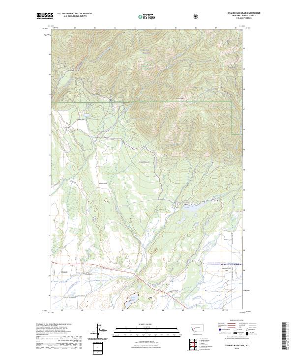
2024 Ovando Mountain
Powell County, MT
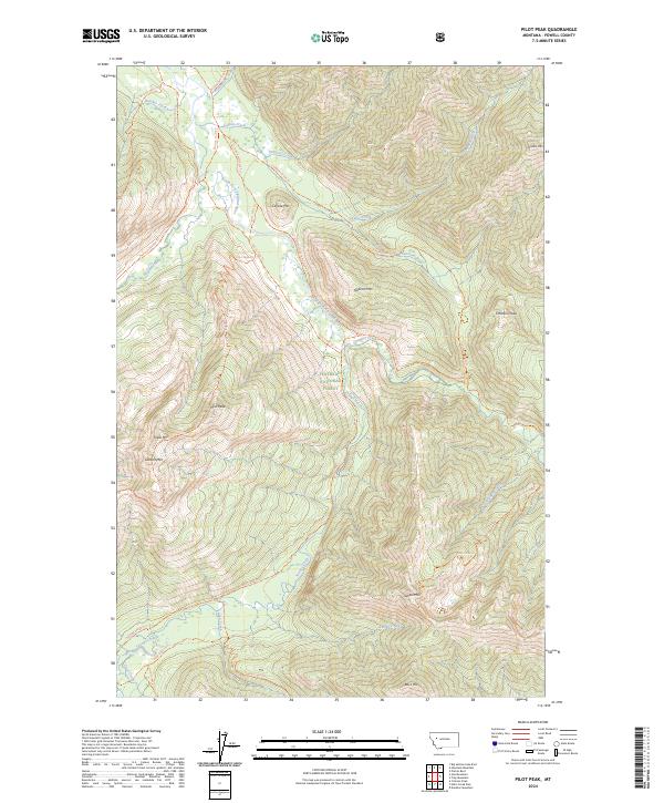
2024 Pilot Peak
Powell County, MT
2024 Rock Creek Lake
Powell County, MT
2024 Shaw Creek
Powell County, MT
2024 Spread Mountain
Powell County, MT
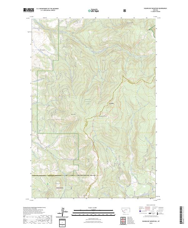
2024 Sugarloaf Mountain
Powell County, MT
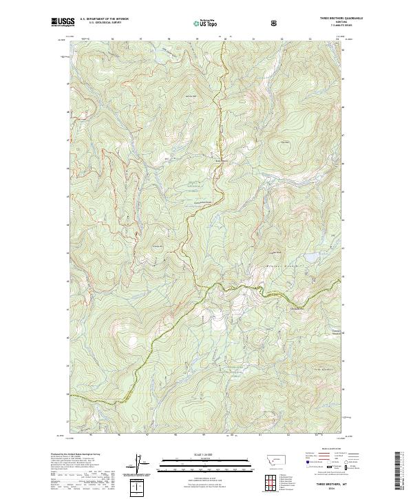
2024 Three Brothers
Powell County, MT
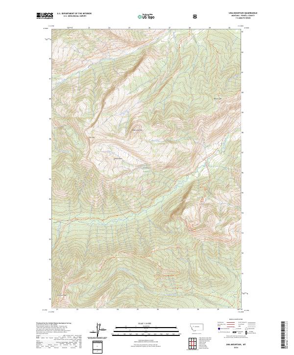
2024 Una Mountain
Powell County, MT
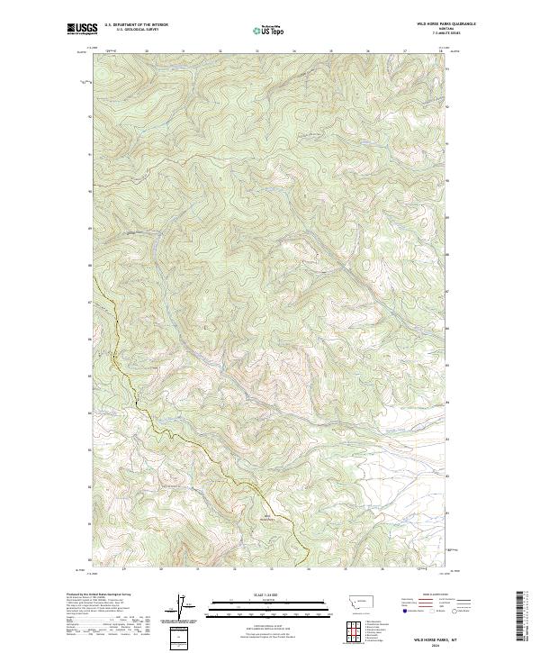
2024 Wild Horse Parks
Powell County, MT
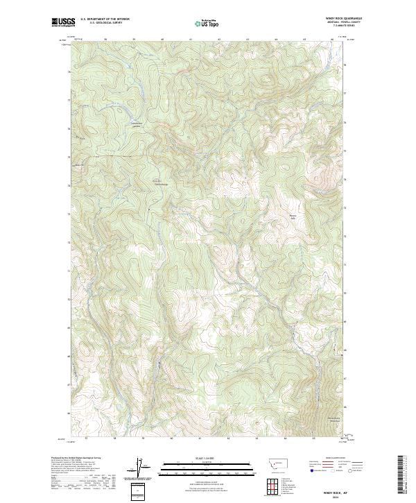
2024 Windy Rock
Powell County, MT
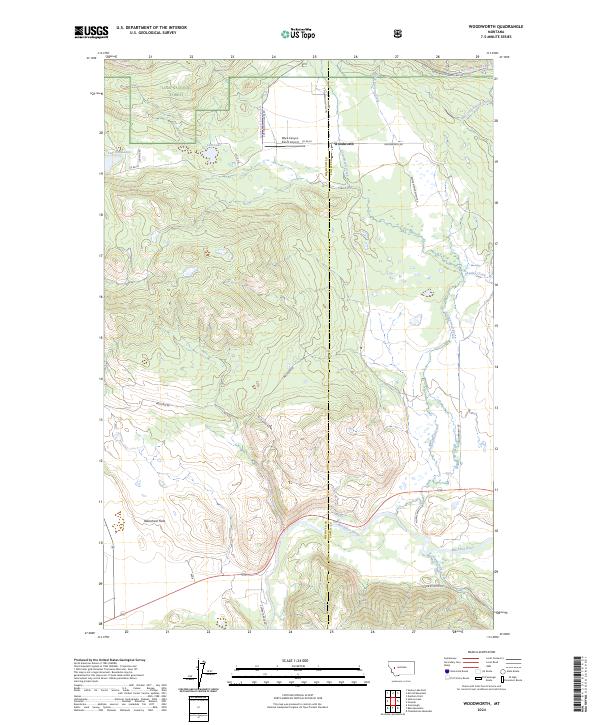
2024 Woodworth
Powell County, MT