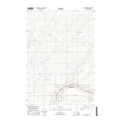
2015 Map of Danbury West
USGS Topo · Published 2015About this map
The Saint Croix River forms a natural border between Minnesota and Wisconsin in this region, defining the landscape of the Saint Croix National Scenic Riverway. In the southern portion of the quadrangle, the community of Danbury sits near the river bend, while the surrounding wetlands and forests are punctuated by numerous glacial lakes like Lena Lake and Graces Lake. This area holds significant cultural importance, marked by Native American Burial Grounds and historical sites such as Ogema Cem.
Find a feature on this map
59 named features on this map. Tap any name to fly to it.
Don’t see what you’re looking for? This feature index may not catch every label — zoom into the map to look around manually.
Map Details
Editions of this 2015 Danbury West Map
This is the sole edition of this map. No revisions or reprints were ever made.
Other maps of this area
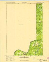
1949 · Danbury
USGS Topo · 1:48,000
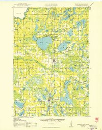
1950 · Webster
USGS Topo · 1:48,000
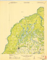
1950 · Grantsburg
USGS Topo · 1:48,000

1953 · Duluth
USGS Topo · 1:250,000

1953 · Stillwater
USGS Topo · 1:250,000
1955 · Webster
USGS Topo · 1:62,500

1955 · Stillwater
USGS Topo · 1:250,000

1958 · Stillwater
USGS Topo · 1:250,000

1958 · Duluth
USGS Topo · 1:250,000
1962 · Cloverdale
USGS Topo · 1:62,500