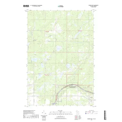
2019 Map of Danbury West
USGS Topo · Published 2019About this map
The St. Croix Wild and Scenic River forms a major geographic boundary in this region, where the Saint Croix National Scenic Riverway transitions between Pine County, Minnesota, and Burnett County, Wisconsin. This river-dominated landscape is defined by the winding course of the Lower Tamarack River and numerous tributaries such as Bangs Brook and Hanson Cr. The terrain is punctuated by significant water bodies, including Graces Lake, Greigs Lake, and Razor Lake, which likely influenced the early settlement and transportation routes visible today.
Find a feature on this map
55 named features on this map. Tap any name to fly to it.
Don’t see what you’re looking for? This feature index may not catch every label — zoom into the map to look around manually.
Map Details
Editions of this 2019 Danbury West Map
This is the sole edition of this map. No revisions or reprints were ever made.
Other maps of this area

1949 · Danbury
USGS Topo · 1:48,000

1950 · Webster
USGS Topo · 1:48,000

1950 · Grantsburg
USGS Topo · 1:48,000

1953 · Duluth
USGS Topo · 1:250,000

1953 · Stillwater
USGS Topo · 1:250,000

1955 · Webster
USGS Topo · 1:62,500

1955 · Stillwater
USGS Topo · 1:250,000

1958 · Stillwater
USGS Topo · 1:250,000

1958 · Duluth
USGS Topo · 1:250,000

1962 · Cloverdale
USGS Topo · 1:62,500