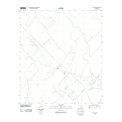
2010 Map of Danciger
USGS Topo · Published 2010About this map
Danciger sits at the heart of this coastal prairie landscape in Brazoria County, where the settlement’s position at the junction of FM 1301 and the Sulphur Ditch reflects the area's agricultural and industrial history. The terrain is defined by a dense network of meandering waterways, including the San Bernard River, Linnville Bayou, and Dance Bayou. These natural features are interspersed with numerous small lakes and ponds, such as Sawmill Lake, Churchhouse Pond, and the evocatively named Shoe Sugar Pond.
Find a feature on this map
30 named features on this map. Tap any name to fly to it.
Don’t see what you’re looking for? This feature index may not catch every label — zoom into the map to look around manually.
Map Details
Editions of this 2010 Danciger Map
This is the sole edition of this map. No revisions or reprints were ever made.
Other maps of this area

1950 · Houston
USGS Topo · 1:250,000

1952 · West Columbia
USGS Topo · 1:24,000

1952 · Sweeny
USGS Topo · 1:24,000

1952 · Danciger
USGS Topo · 1:24,000

1952 · Ashwood
USGS Topo · 1:24,000

1952 · Pledger
USGS Topo · 1:24,000

1952 · Van Vleck
USGS Topo · 1:24,000

1953 · Guy
USGS Topo · 1:24,000

1953 · Damon
USGS Topo · 1:24,000

1953 · Boling
USGS Topo · 1:24,000