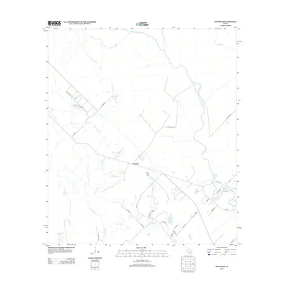
2013 Map of Danciger
USGS Topo · Published 2013About this map
Danciger and its surrounding wetlands occupy a landscape defined by the winding course of the San Bernard River and a complex network of bayous. The 2013 topography reveals the industrial footprint of the Pledger Gas Field, contrasting with the more traditional rural markers of the area. Local history is anchored by sites like the Brown Cem, situated near Churchhouse Pond, providing a point of reference for researchers tracing family lineage in Brazoria County.
Find a feature on this map
39 named features on this map. Tap any name to fly to it.
Don’t see what you’re looking for? This feature index may not catch every label — zoom into the map to look around manually.
Map Details
Editions of this 2013 Danciger Map
This is the sole edition of this map. No revisions or reprints were ever made.
Other maps of this area

1950 · Houston
USGS Topo · 1:250,000

1952 · West Columbia
USGS Topo · 1:24,000

1952 · Sweeny
USGS Topo · 1:24,000

1952 · Danciger
USGS Topo · 1:24,000

1952 · Ashwood
USGS Topo · 1:24,000

1952 · Pledger
USGS Topo · 1:24,000

1952 · Van Vleck
USGS Topo · 1:24,000

1953 · Guy
USGS Topo · 1:24,000

1953 · Damon
USGS Topo · 1:24,000

1953 · Boling
USGS Topo · 1:24,000