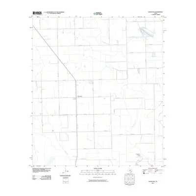
2010 Map of Danevang
USGS Topo · Published 2010About this map
The settlement of Danevang serves as the focal point for this coastal prairie landscape in Wharton County, highlighting its unique history as a Danish agricultural colony. This 2010 survey illustrates a highly organized grid of rural routes, including Farm Rd 403 and FM 1162 Rd, which define the region's productive agricultural character. The natural hydrology is shaped by the winding courses of the Tres Palacios River, Willow Creek, and Juanita Creek, which cut across the geometric field patterns. Significant water management features are evident near the southern boundary, such as the A H Johnson Reservoir and an associated Levee, indicating the infrastructure required for large-scale ranching or rice farming in the Texas Gulf Coast region.
Find a feature on this map
29 named features on this map. Tap any name to fly to it.
Don’t see what you’re looking for? This feature index may not catch every label — zoom into the map to look around manually.
Map Details
Editions of this 2010 Danevang Map
This is the sole edition of this map. No revisions or reprints were ever made.
Other maps of this area

1951 · Danevang
USGS Topo · 1:24,000

1952 · Lane City SE
USGS Topo · 1:24,000

1952 · Markham
USGS Topo · 1:24,000

1952 · Francitas NE
USGS Topo · 1:24,000

1952 · Lane City
USGS Topo · 1:24,000

1952 · Midfield
USGS Topo · 1:24,000

1952 · Pierce
USGS Topo · 1:24,000

1953 · Beeville
USGS Topo · 1:250,000

1953 · Seguin
USGS Topo · 1:250,000

1956 · Beeville
USGS Topo · 1:250,000