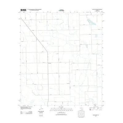
2013 Map of Danevang
USGS Topo · Published 2013About this map
Danevang serves as the central anchor of this coastal prairie landscape in Wharton County, Texas. This agricultural region is defined by a grid-like network of rural roads and the natural drainage of the Tres Palacios River, which winds through the eastern portion of the map. Smaller waterways like Willow Cr and Juanita Cr cut through the level terrain, illustrating the hydrologic patterns essential to the local farming economy. The presence of numerous named thoroughfares, such as Julia Rd, Baca Rd, and Lezak Rd, reflects the deep-rooted family ties and land ownership history of the Danish-founded colony. These roads connect the various farmsteads to regional routes like F-M 441 and F-M 1162, showing a modern landscape that maintains its traditional rural character while being seamlessly integrated into the Texas farm-to-market system.
Find a feature on this map
32 named features on this map. Tap any name to fly to it.
Don’t see what you’re looking for? This feature index may not catch every label — zoom into the map to look around manually.
Map Details
Editions of this 2013 Danevang Map
This is the sole edition of this map. No revisions or reprints were ever made.
Other maps of this area

1951 · Danevang
USGS Topo · 1:24,000

1952 · Lane City SE
USGS Topo · 1:24,000

1952 · Markham
USGS Topo · 1:24,000

1952 · Francitas NE
USGS Topo · 1:24,000

1952 · Lane City
USGS Topo · 1:24,000

1952 · Midfield
USGS Topo · 1:24,000

1952 · Pierce
USGS Topo · 1:24,000

1953 · Beeville
USGS Topo · 1:250,000

1953 · Seguin
USGS Topo · 1:250,000

1956 · Beeville
USGS Topo · 1:250,000