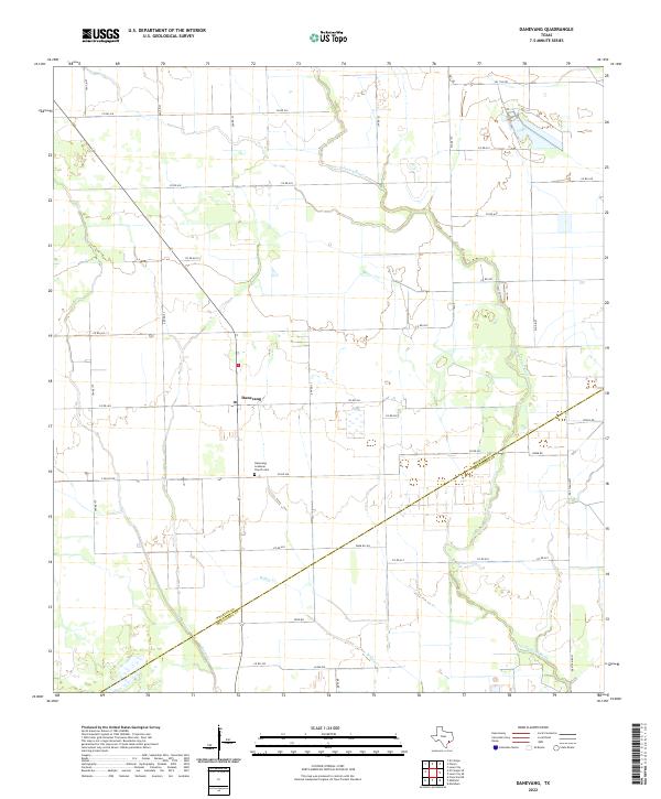
2022 Map of Danevang
USGS Topo · Published 2022About this map
The coastal prairie of the Texas Gulf Coast takes center stage in this 2022 survey, centered on the Danish heritage settlement of Danevang. Established in the late 19th century by the Danish Mutual Life Insurance Company, the community's spiritual and historical core is marked by the Danevang Lutheran Church Cem, which remains a vital point of interest for genealogists tracing Scandinavian roots in the region. The landscape is defined by the flat, agricultural expanse typical of Wharton County, structured by a rigorous grid of county roads such as Poole Rd and Jurek Rd. Waterways like the Tres Palacios River and Willow Cr meander through the fields, providing the primary drainage for this low-lying territory. The diagonal boundary between Wharton and Matagorda counties cuts across the lower half of the map, illustrating how historical political lines often intersect the natural drainage patterns of Juanita Cr.
Find a feature on this map
35 named features on this map. Tap any name to fly to it.
Don’t see what you’re looking for? This feature index may not catch every label — zoom into the map to look around manually.
Map Details
Editions of this 2022 Danevang Map
This is the sole edition of this map. No revisions or reprints were ever made.
Other maps of this area

1951 · Danevang
USGS Topo · 1:24,000

1952 · Lane City SE
USGS Topo · 1:24,000

1952 · Markham
USGS Topo · 1:24,000

1952 · Francitas NE
USGS Topo · 1:24,000

1952 · Lane City
USGS Topo · 1:24,000

1952 · Midfield
USGS Topo · 1:24,000

1952 · Pierce
USGS Topo · 1:24,000

1953 · Beeville
USGS Topo · 1:250,000

1953 · Seguin
USGS Topo · 1:250,000

1956 · Beeville
USGS Topo · 1:250,000