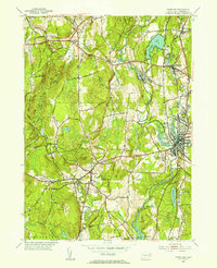
1955 Map of Danielson
USGS Topo · Published 1956About this map
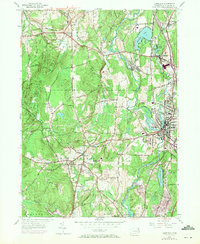
The Quinebaug River valley in the mid-1950s serves as a busy corridor of industry and education, anchored by the dense residential and commercial centers of Danielson and Brooklyn. This landscape is defined by the intersection of traditional agriculture and post-war development, where a local Creamery and the Pomfret Golf Club coexist with growing educational campuses like Killingly High Sch and Brooklyn Elem Sch. The New York New Haven and Hartford railroad tracks parallel the river, connecting several mill-era settlements such as Rogers, Dayville, and Elmville.
Find a feature on this map
65 named features on this map. Tap any name to fly to it.
Don’t see what you’re looking for? This feature index may not catch every label — zoom into the map to look around manually.
Map Details
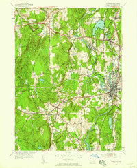
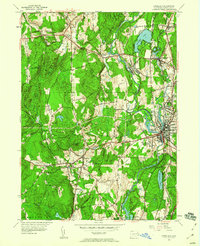
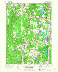
Editions of this 1955 Danielson Map
7 editions found
Other maps of this area

1889 · Putnam
USGS Topo · 1:62,500

1889 · Moosup
USGS Topo · 1:62,500

1892 · Woodstock
USGS Topo · 1:62,500

1892 · Norwich
USGS Topo · 1:62,500

1893 · Putnam
USGS Topo · 1:62,500

1893 · Moosup
USGS Topo · 1:62,500

1919 · Putnam
USGS Topo · 1:62,500

1920 · Moosup
USGS Topo · 1:62,500

1921 · Woodstock
USGS Topo · 1:62,500

1943 · Plainfield
USGS Topo · 1:31,680