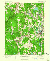
1955 Map of Danielson
USGS Topo · Published 1960About this map
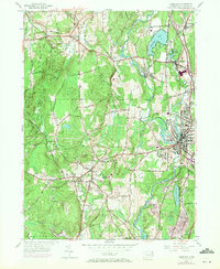
The Quinebaug River corridor serves as the industrial and social backbone of this Windham County region, supporting concentrated settlements at Danielson, Dayville, and Wauregan. The landscape transitions from the dense street grids of East Brooklyn and Quebec to the high ridges of Barrett Ridge and Tatnic Hill. In the western portion of the map, the Putnam Wolf Den State Park preserves a significant wooded area, while the surrounding town of Pomfret remains characterized by schools like the Pomfret Community Sch and the winding Mashamoquet Brook. Transport is defined by the New York New Haven and Hartford railroad line, which parallels the river and connects the various mill villages. This mid-century survey captures a period of established residential growth alongside traditional New England water-powered industrial sites, seen in the proximity of Fivemile Pond to the center of Danielson.
Find a feature on this map
52 named features on this map. Tap any name to fly to it.
Don’t see what you’re looking for? This feature index may not catch every label — zoom into the map to look around manually.
Map Details
Editions of this 1955 Danielson Map
7 editions found
Other maps of this area

1889 · Putnam
USGS Topo · 1:62,500

1889 · Moosup
USGS Topo · 1:62,500

1892 · Woodstock
USGS Topo · 1:62,500

1892 · Norwich
USGS Topo · 1:62,500

1893 · Putnam
USGS Topo · 1:62,500

1893 · Moosup
USGS Topo · 1:62,500

1919 · Putnam
USGS Topo · 1:62,500

1920 · Moosup
USGS Topo · 1:62,500

1921 · Woodstock
USGS Topo · 1:62,500

1943 · Plainfield
USGS Topo · 1:31,680