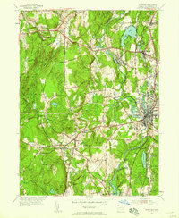
1955 Map of Danielson
USGS Topo · Published 1958About this map
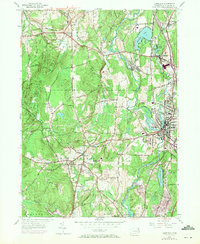
The Quinebaug River corridor serves as the industrial and social spine of this mid-1950s survey, connecting a series of manufacturing and residential centers from Attawaugan and Dayville south through the regional hub of Danielson. The landscape is defined by the coexistence of village life and educational infrastructure, such as the Killingly Memorial Sch and Goodyear Sch, alongside the prominent New York New Haven and Hartford railroad line. To the west, the terrain rises toward Barrett Ridge and Bush Hill, where the Mashamoquet Brook State Park contains the historic Wolf Den. This era captures a densely settled Windham County landscape of established borough centers like Brooklyn and industrial outposts like Quebec and Wauregan, showing a network of state roads like Conn 12 and Conn 101 that integrated these mill-and-rail towns before the modern interstate era.
Find a feature on this map
47 named features on this map. Tap any name to fly to it.
Don’t see what you’re looking for? This feature index may not catch every label — zoom into the map to look around manually.
Map Details
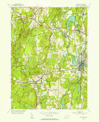
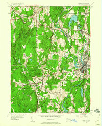
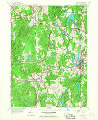
Editions of this 1955 Danielson Map
7 editions found
Other maps of this area

1889 · Putnam
USGS Topo · 1:62,500

1889 · Moosup
USGS Topo · 1:62,500

1892 · Woodstock
USGS Topo · 1:62,500

1892 · Norwich
USGS Topo · 1:62,500

1893 · Putnam
USGS Topo · 1:62,500

1893 · Moosup
USGS Topo · 1:62,500

1919 · Putnam
USGS Topo · 1:62,500

1920 · Moosup
USGS Topo · 1:62,500

1921 · Woodstock
USGS Topo · 1:62,500

1943 · Plainfield
USGS Topo · 1:31,680