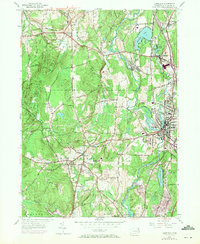
1955 Map of Danielson
USGS Topo · Published 1971About this map
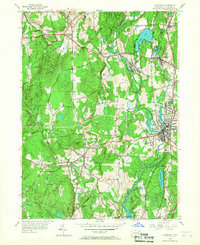
The Quinebaug River and Fivemile River valley corridor anchor this mid-century survey of Windham County, showing the industrial and transportation nexus of Danielson and its neighboring villages. The landscape is a mix of dense valley settlements like Dayville and Attawaugan contrasted with the forested high ground of Natchaug State Forest and Putnam Wolf Den State Park to the west. Evidence of the region's transport evolution is clear, with the Penn Central railroad tracks running parallel to the newer Connecticut Turnpike. Local history is captured through specific community landmarks, including the Sacred Heart Convent, the Pomfret Community School, and several rural burial grounds such as St Joseph Cemetery and South Cemetery. The 1970 photorevisions, shown in purple, document the expanding residential footprints near Alexander Lake and the commercial development along the major highway interchanges.
Find a feature on this map
52 named features on this map. Tap any name to fly to it.
Don’t see what you’re looking for? This feature index may not catch every label — zoom into the map to look around manually.
Map Details
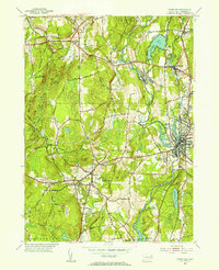
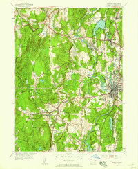
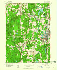
Editions of this 1955 Danielson Map
7 editions found
Other maps of this area

1889 · Putnam
USGS Topo · 1:62,500

1889 · Moosup
USGS Topo · 1:62,500

1892 · Woodstock
USGS Topo · 1:62,500

1892 · Norwich
USGS Topo · 1:62,500

1893 · Putnam
USGS Topo · 1:62,500

1893 · Moosup
USGS Topo · 1:62,500

1919 · Putnam
USGS Topo · 1:62,500

1920 · Moosup
USGS Topo · 1:62,500

1921 · Woodstock
USGS Topo · 1:62,500

1943 · Plainfield
USGS Topo · 1:31,680