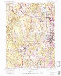
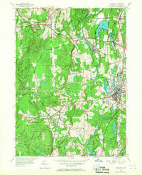
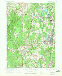
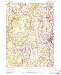
1955 Map of Danielson
USGS Topo · Published 1987About this map
The Quinebaug River valley and its industrial corridor dominate this mid-century topographic survey, showing the interconnected mill towns of Danielson, Dayville, and Wauregan as they appeared prior to modern highway expansions. The Penn Central rail line traces the river's path, serving manufacturing hubs like Goodyear and Rogers. West of the river, the landscape shifts toward the wooded ridges and agricultural plateaus of Brooklyn and Pomfret, marked by significant landmarks like the Wolf Den State Park and Natchaug State Forest.
Find a feature on this map
64 named features on this map. Tap any name to fly to it.
Don’t see what you’re looking for? This feature index may not catch every label — zoom into the map to look around manually.
Map Details
Editions of this 1955 Danielson Map
7 editions found
Other maps of this area

1889 · Putnam
USGS Topo · 1:62,500

1889 · Moosup
USGS Topo · 1:62,500

1892 · Woodstock
USGS Topo · 1:62,500

1892 · Norwich
USGS Topo · 1:62,500

1893 · Putnam
USGS Topo · 1:62,500

1893 · Moosup
USGS Topo · 1:62,500

1919 · Putnam
USGS Topo · 1:62,500

1920 · Moosup
USGS Topo · 1:62,500

1921 · Woodstock
USGS Topo · 1:62,500

1943 · Plainfield
USGS Topo · 1:31,680