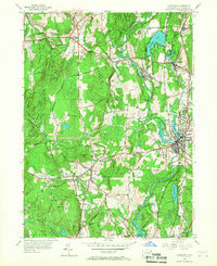
1955 Map of Danielson
USGS Topo · Published 1967About this map
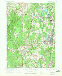
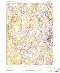
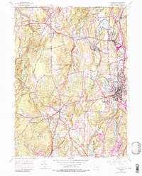
The Quinebaug River valley serves as the industrial and transportation spine of this Windham County landscape, where textile and manufacturing centers like Danielson and Wauregan thrived alongside the New York New Haven and Hartford railroad. The map reveals a dense network of civic life in the mid-1950s, anchored by institutions such as the Killingly Memorial School and the Sacred Heart Convent. To the west, the terrain rises toward the Pomfret State Forest and the legendary Wolf Den, while the agricultural character of Brooklyn is marked by features like Creamery Brook and the Brooklyn Elementary School. This survey captures the transition from high-density mill villages to the rolling hills of the Natchaug State Forest, documenting the intricate balance between New England’s water-powered industry and its deep-rooted farming communities before modern suburban expansion reshaped the corridor.
Find a feature on this map
55 named features on this map. Tap any name to fly to it.
Don’t see what you’re looking for? This feature index may not catch every label — zoom into the map to look around manually.
Map Details
Editions of this 1955 Danielson Map
7 editions found
Other maps of this area

1889 · Putnam
USGS Topo · 1:62,500

1889 · Moosup
USGS Topo · 1:62,500

1892 · Woodstock
USGS Topo · 1:62,500

1892 · Norwich
USGS Topo · 1:62,500

1893 · Putnam
USGS Topo · 1:62,500

1893 · Moosup
USGS Topo · 1:62,500

1919 · Putnam
USGS Topo · 1:62,500

1920 · Moosup
USGS Topo · 1:62,500

1921 · Woodstock
USGS Topo · 1:62,500

1943 · Plainfield
USGS Topo · 1:31,680