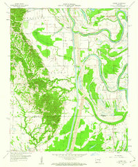
1959 Map of Dansby
USGS Topo · Published 1960About this map
Crowleys Ridge dominates the western half of this landscape, rising abruptly from the surrounding alluvial lowlands of the Mississippi Delta. This distinctive geological formation provides a elevated anchor for numerous rural institutions, including Macedonia Ch and Mt Zion Ch, as well as several family-named burial grounds like Wyles Cem and Shady Grove Cem. The contrast between the wooded uplands of the ridge and the cultivated flats to the east illustrates the traditional settlement patterns of St. Francis County.
Find a feature on this map
36 named features on this map. Tap any name to fly to it.
Don’t see what you’re looking for? This feature index may not catch every label — zoom into the map to look around manually.
Map Details
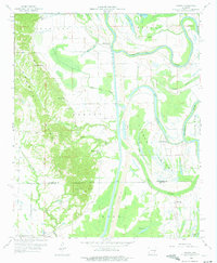
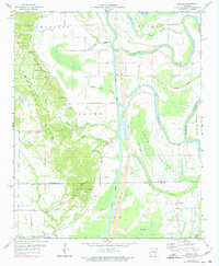
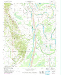
Editions of this 1959 Dansby Map
4 editions found
Other maps of this area

1939 · Park Place
USGS Topo · 1:62,500

1939 · Wynne
USGS Topo · 1:62,500

1940 · Whitmore
USGS Topo · 1:62,500

1940 · Marianna
USGS Topo · 1:62,500

1948 · Helena
USGS Topo · 1:250,000

1950 · Helena
USGS Topo · 1:250,000

1953 · Memphis
USGS Topo · 1:250,000

1955 · Park Place
USGS Topo · 1:62,500

1955 · Helena
USGS Topo · 1:250,000

1956 · Memphis
USGS Topo · 1:250,000