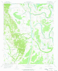
1959 Map of Dansby
USGS Topo · Published 1975About this map
Crowleys Ridge rises distinctly from the surrounding delta lowlands, providing a unique topographical contrast where Tuni Creek and Hawkins Creek carve into its western slopes. This 1959 survey of eastern Arkansas reveals a landscape defined by the shifting course of the St Francis River and its remnant oxbows, including Island Lake and Long Lake. The map serves as a detailed record of rural community life in the mid-20th century, centering on the settlement of Dansby and the surrounding townships of Madison, Griggs, and Union.
Find a feature on this map
38 named features on this map. Tap any name to fly to it.
Don’t see what you’re looking for? This feature index may not catch every label — zoom into the map to look around manually.
Map Details
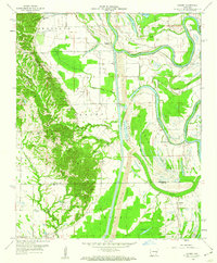
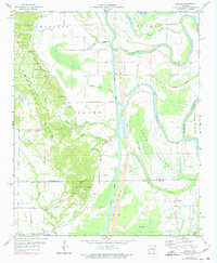
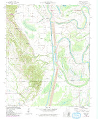
Editions of this 1959 Dansby Map
4 editions found
Other maps of this area

1939 · Park Place
USGS Topo · 1:62,500

1939 · Wynne
USGS Topo · 1:62,500

1940 · Whitmore
USGS Topo · 1:62,500

1940 · Marianna
USGS Topo · 1:62,500

1948 · Helena
USGS Topo · 1:250,000

1950 · Helena
USGS Topo · 1:250,000

1953 · Memphis
USGS Topo · 1:250,000

1955 · Park Place
USGS Topo · 1:62,500

1955 · Helena
USGS Topo · 1:250,000

1956 · Memphis
USGS Topo · 1:250,000