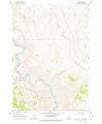
1962 Map of Dant
USGS Topo · Published 1978About this map
The Deschutes River carves a deep, winding course through this canyon landscape, serving as a primary corridor for the Spokane Portland and Seattle railroad. Small river-side points like Nena, Dixon, and the settlement of Dant punctuate the rail line, while a Cable Crossing further north indicates the historical methods used to traverse this steep terrain. To the south, the Warm Springs Indian Reservation Boundary follows a complex series of surveyed markers, including the (Handley Line 1871) and an Old Boundary Line, highlighting the area's jurisdictional evolution. The southern reach of the sheet rises into the Mutton Mountains, where numerous seasonal drainages like Eagle Creek and Lomax Hollow Creek flow toward the river valley. The map also traces a network of Jeep Trails and unnamed springs, connecting isolated points such as Two Springs Ranch to the rugged highlands of the Devil Canyon and Middle Canyon.
Find a feature on this map
28 named features on this map. Tap any name to fly to it.
Don’t see what you’re looking for? This feature index may not catch every label — zoom into the map to look around manually.
Map Details
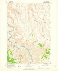
Editions of this 1962 Dant Map
2 editions found
Other maps of this area

1928 · Madras
USGS Topo · 1:125,000

1930 · Dufur
USGS Topo · 1:125,000

1931 · Madras
USGS Topo · 1:125,000

1934 · Dufur
USGS Topo · 1:125,000

1953 · The Dalles
USGS Topo · 1:250,000

1955 · Bend
USGS Topo · 1:250,000

1956 · The Dalles
USGS Topo · 1:250,000

1957 · Bend
USGS Topo · 1:250,000

1957 · The Dalles
USGS Topo · 1:250,000

1958 · Bend
USGS Topo · 1:250,000