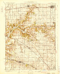
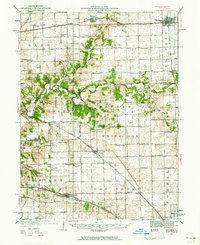
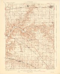
1930 Map of Danvers
USGS Topo · Published 1930About this map
The Mackinaw River carves a winding path across this Central Illinois landscape, defining the northern borders of Montgomery and Kansas townships. Surveyed in the late 1920s, the map reveals a dense network of country schools like Price Sch and Rook Creek Sch that served the agricultural hinterlands of Danvers and Carlock. These smaller settlements were anchored by significant rail infrastructure, including the Illinois Traction System (Electric) and the Cleveland Cincinnati Chicago and St Louis Railroad, which connected this rural corridor to larger regional markets.
Find a feature on this map
87 named features on this map. Tap any name to fly to it.
Don’t see what you’re looking for? This feature index may not catch every label — zoom into the map to look around manually.
Map Details
Editions of this 1930 Danvers Map
2 editions found
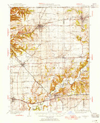
Other maps of this area
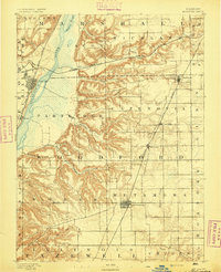
1893 · Metamora
USGS Topo · 1:62,500

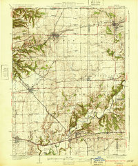
1926 · Normal
USGS Topo · 1:62,500
1927 · Danvers
USGS Topo · 1:62,500
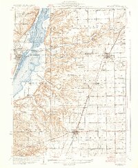
1928 · Mackinaw
USGS Topo · 1:62,500
1930 · Danvers
USGS Topo · 1:62,500

1930 · Normal
USGS Topo · 1:62,500
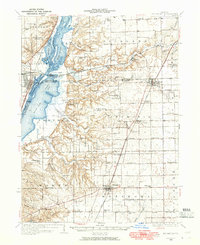
1932 · Mackinaw
USGS Topo · 1:62,500
1937 · Metamora
USGS Topo · 1:62,500
1948 · Metamora
USGS Topo · 1:62,500

1949 · Mc Lean
USGS Topo · 1:62,500