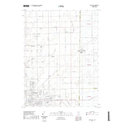
2021 Map of Danville NE
USGS Topo · Published 2021About this map
Danville and its northeastern rural surroundings are presented here at the border of Illinois and Indiana, where the landscape transitions from urban grid to extensive agricultural tracts. The southern portion of the map is dominated by the residential and commercial streets of the city, including Danville Area Community College and the industrial activity near Walz. To the north, the terrain is defined by the winding course of Stoney Cr and the presence of the Vermilion Regional Airport.
Find a feature on this map
73 named features on this map. Tap any name to fly to it.
Don’t see what you’re looking for? This feature index may not catch every label — zoom into the map to look around manually.
Map Details
Editions of this 2021 Danville NE Map
This is the sole edition of this map. No revisions or reprints were ever made.
Other maps of this area

1899 · Danville
USGS Topo · 1:62,500

1900 · Danville
USGS Topo · 1:62,500

1933 · Hoopeston
USGS Topo · 1:48,000

1938 · Hoopeston
USGS Topo · 1:62,500

1948 · Danville NW
USGS Topo · 1:24,000

1949 · Danville SW
USGS Topo · 1:24,000

1950 · Danville SW
USGS Topo · 1:24,000

1950 · Danville NW
USGS Topo · 1:24,000

1950 · Danville SE
USGS Topo · 1:24,000

1950 · Danville NE
USGS Topo · 1:24,000