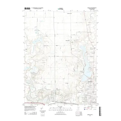
2015 Map of Danville NW
USGS Topo · Published 2015About this map
The Middle Fork Vermilion River and North Fork Vermilion River systems dominate this Vermilion County landscape, which transitions from the residential outskirts of Danville into a complex network of reservoirs and smaller rural communities. The map reveals the expansion of local infrastructure around Lake Vermilion and Lake Mingo, alongside older crossroads such as Snider and Johnsonville. For those tracing local families, the sheet is dense with small burial grounds, including Bethel Cem, Fairchild Cem, and Thurman Cem, which sit in contrast to the larger modern Sunset Memorial Cem.
Find a feature on this map
133 named features on this map. Tap any name to fly to it.
Don’t see what you’re looking for? This feature index may not catch every label — zoom into the map to look around manually.
Map Details
Editions of this 2015 Danville NW Map
This is the sole edition of this map. No revisions or reprints were ever made.
Other maps of this area

1899 · Danville
USGS Topo · 1:62,500

1900 · Danville
USGS Topo · 1:62,500

1931 · Fithian
USGS Topo · 1:48,000

1933 · Hoopeston
USGS Topo · 1:48,000

1936 · Potomac
USGS Topo · 1:62,500

1938 · Hoopeston
USGS Topo · 1:62,500

1943 · Fithian
USGS Topo · 1:62,500

1948 · Danville NW
USGS Topo · 1:24,000

1949 · Danville SW
USGS Topo · 1:24,000

1950 · Danville SW
USGS Topo · 1:24,000