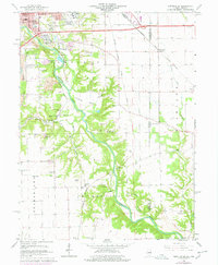
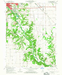
1966 Map of Danville SE
USGS Topo · Published 1978About this map
The Vermilion River carves a deep, winding valley through this landscape, creating a sharp contrast between the industrial activity on the western bluffs and the agricultural tablelands to the east. In the 1960s, the area south of Danville was defined by extensive extractive industries, with numerous Strip Mines, Gravel Pits, and a Mine Dump indicating the region's reliance on coal and aggregate. The expansion of utility and scientific infrastructure is evident through the University of Illinois Radio Telescope and an Observatory located near Langley Bottom.
Find a feature on this map
68 named features on this map. Tap any name to fly to it.
Don’t see what you’re looking for? This feature index may not catch every label — zoom into the map to look around manually.
Map Details
Editions of this 1966 Danville SE Map
2 editions found
Other maps of this area

1899 · Danville
USGS Topo · 1:62,500

1900 · Danville
USGS Topo · 1:62,500

1947 · Ridge Farm
USGS Topo · 1:62,500

1948 · Danville NW
USGS Topo · 1:24,000

1949 · Danville SW
USGS Topo · 1:24,000

1950 · Danville SW
USGS Topo · 1:24,000

1950 · Danville NW
USGS Topo · 1:24,000

1950 · Danville SE
USGS Topo · 1:24,000

1950 · Danville NE
USGS Topo · 1:24,000

1951 · Danville NE
USGS Topo · 1:24,000