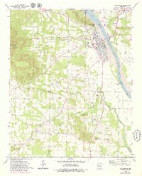
1972 Map of Dardanelle
USGS Topo · Published 1979About this map
Arkansas River navigation and the growing township of Dardanelle define this 1970s landscape at the boundary of Yell and Pope counties. The completion of the Dardanelle Lock and Dam created Lake Dardanelle to the north, fundamentally altering the local hydrology and recreation, while the iconic Dardanelle Rock stands as a sentinel over the river bend. The map records a dense network of local lineage, marked by numerous rural burial grounds such as Brearley, Oak Ridge, and Louvenia cemeteries.
Find a feature on this map
48 named features on this map. Tap any name to fly to it.
Don’t see what you’re looking for? This feature index may not catch every label — zoom into the map to look around manually.
Map Details
Editions of this 1972 Dardanelle Map
4 editions found
Other maps of this area

1888 · Dardanelle #4
USGS Topo · 1:62,500

1888 · Dardanelle #2
USGS Topo · 1:62,500

1888 · Dardanelle #1
USGS Topo · 1:62,500

1888 · Dardanelle #3
USGS Topo · 1:62,500

1890 · Dardanelle
USGS Topo · 1:125,000

1956 · Russellville
USGS Topo · 1:250,000
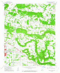
1962 · Russellville East
USGS Topo · 1:24,000

1962 · Delaware
USGS Topo · 1:24,000
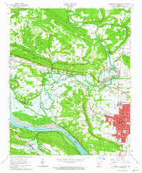
1963 · Russellville West
USGS Topo · 1:24,000

1964 · Russellville
USGS Topo · 1:250,000