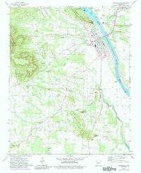
1972 Map of Dardanelle
USGS Topo · Published 1984About this map
The Arkansas River serves as the dominant boundary and economic engine on this topographic survey, separating Dardanelle in Yell County from North Dardanelle in Pope County. The construction of the Dardanelle Lock and Dam has transformed the northern reaches of the river into Lake Dardanelle, altering the local hydrology and creating new recreation sites like the Dam Site East Public Use Area. To the west, the steep elevations of Mount Nebo and Dardanelle Mountain rise sharply from the river valley, with Mount Nebo State Park preserving the high terrain.
Find a feature on this map
53 named features on this map. Tap any name to fly to it.
Don’t see what you’re looking for? This feature index may not catch every label — zoom into the map to look around manually.
Map Details
Editions of this 1972 Dardanelle Map
4 editions found
Other maps of this area

1888 · Dardanelle #4
USGS Topo · 1:62,500

1888 · Dardanelle #2
USGS Topo · 1:62,500

1888 · Dardanelle #1
USGS Topo · 1:62,500

1888 · Dardanelle #3
USGS Topo · 1:62,500

1890 · Dardanelle
USGS Topo · 1:125,000

1956 · Russellville
USGS Topo · 1:250,000
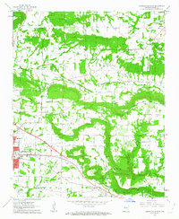
1962 · Russellville East
USGS Topo · 1:24,000

1962 · Delaware
USGS Topo · 1:24,000
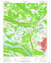
1963 · Russellville West
USGS Topo · 1:24,000

1964 · Russellville
USGS Topo · 1:250,000