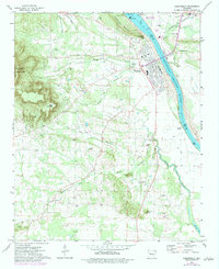
1972 Map of Dardanelle
USGS Topo · Published 1984About this map
Dardanelle Mountain and the prominent heights of Mount Nebo dominate the landscape of the Arkansas River valley in the early 1970s. The town of Dardanelle serves as a central hub, situated along the Arkansas River just below the Dardanelle Lock and Dam. This period shows the significant infrastructure surrounding the river, including a powerplant and the Dam Site East Public Use Area on Lake Dardanelle. A wide distribution of family and community burial grounds, such as Oak Ridge Cem, Hudson Cem, and Moore Hill Cem, provides a detailed record of the rural population centers like Smiley, Elberta, and Prosperity. To the west, Mount Nebo State Park preserves the higher elevations, while a Railroad Grade south of Dardanelle indicates former transportation corridors through the valley.
Find a feature on this map
50 named features on this map. Tap any name to fly to it.
Don’t see what you’re looking for? This feature index may not catch every label — zoom into the map to look around manually.
Map Details
Editions of this 1972 Dardanelle Map
4 editions found
Other maps of this area

1888 · Dardanelle #4
USGS Topo · 1:62,500

1888 · Dardanelle #2
USGS Topo · 1:62,500

1888 · Dardanelle #1
USGS Topo · 1:62,500

1888 · Dardanelle #3
USGS Topo · 1:62,500

1890 · Dardanelle
USGS Topo · 1:125,000

1956 · Russellville
USGS Topo · 1:250,000
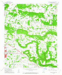
1962 · Russellville East
USGS Topo · 1:24,000

1962 · Delaware
USGS Topo · 1:24,000
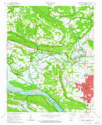
1963 · Russellville West
USGS Topo · 1:24,000

1964 · Russellville
USGS Topo · 1:250,000