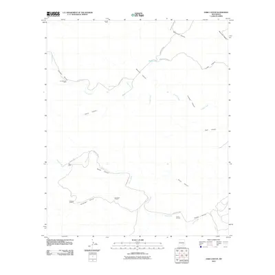
2010 Map of Dark Canyon
USGS Topo · Published 2010About this map
Isolated cattle operations and water management systems define this high-desert reach of Chaves County. Gressett Ranch and Crooked Creek Ranch sit as primary outposts in a landscape deeply carved by drainages like Dark Canyon and Cedar Canyon. The presence of the Challenge Windmill, East Header Windmill, and Pipeline Windmill indicates the critical importance of water infrastructure for the regional ranching economy. This terrain is marked by seasonal watercourses such as Crooked Creek and Squaw Creek, which have sculpted a series of dramatic canyon systems including Cherry Canyon and Montoya Canyon. Transportation is limited to a network of local routes like County Rd-145 and Buchanan Draw Rd, which follow the natural contours of the land to connect these remote holdings.
Find a feature on this map
24 named features on this map. Tap any name to fly to it.
Don’t see what you’re looking for? This feature index may not catch every label — zoom into the map to look around manually.
Map Details
Editions of this 2010 Dark Canyon Map
This is the sole edition of this map. No revisions or reprints were ever made.
Other maps of this area

1954 · Carlsbad
USGS Topo · 1:250,000

1955 · Roswell
USGS Topo · 1:250,000

1958 · Carlsbad
USGS Topo · 1:250,000

1958 · Roswell
USGS Topo · 1:250,000

1960 · Teel Ranch
USGS Topo · 1:62,500

1961 · Flying H
USGS Topo · 1:62,500

1961 · Indian Bluff
USGS Topo · 1:62,500

1962 · Roswell
USGS Topo · 1:250,000

1962 · Dunken
USGS Topo · 1:62,500

1978 · Artesia
USGS Topo · 1:100,000