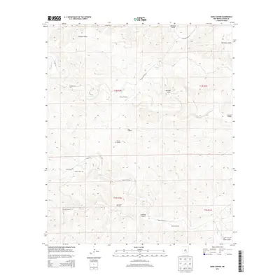
2013 Map of Dark Canyon
USGS Topo · Published 2013About this map
Crooked Creek Ranch and Waller Ranch are the primary signs of habitation in this high-desert area of Chaves County. The landscape is defined by its drainage systems and ephemeral water sources, with names like Dark Canyon, Cherry Canyon, and Montoya Canyon cutting through the topography. In a region where water management is essential for ranching operations, a network of infrastructure is evident, including the East Header Windmill, Challenge Windmill, and Pipeline Windmill. Transport is facilitated by rural routes such as Buchanan Draw Rd and Squaw Canyon Rd, which navigate the complex terrain. The presence of Dagger Lake and seasonal waterways like Squaw Cr and Crooked Cr highlight the reliance on natural and engineered water points in this arid New Mexico environment.
Find a feature on this map
25 named features on this map. Tap any name to fly to it.
Don’t see what you’re looking for? This feature index may not catch every label — zoom into the map to look around manually.
Map Details
Editions of this 2013 Dark Canyon Map
This is the sole edition of this map. No revisions or reprints were ever made.
Other maps of this area

1954 · Carlsbad
USGS Topo · 1:250,000

1955 · Roswell
USGS Topo · 1:250,000

1958 · Carlsbad
USGS Topo · 1:250,000

1958 · Roswell
USGS Topo · 1:250,000

1960 · Teel Ranch
USGS Topo · 1:62,500

1961 · Flying H
USGS Topo · 1:62,500

1961 · Indian Bluff
USGS Topo · 1:62,500

1962 · Roswell
USGS Topo · 1:250,000

1962 · Dunken
USGS Topo · 1:62,500

1978 · Artesia
USGS Topo · 1:100,000