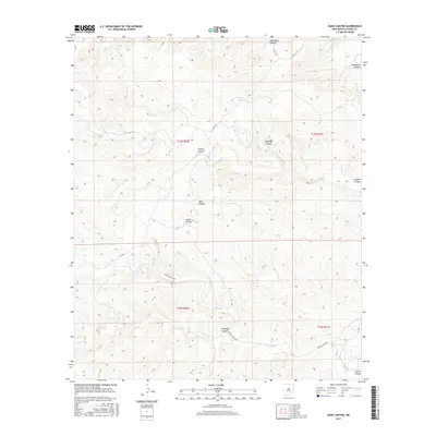
2017 Map of Dark Canyon
USGS Topo · Published 2017About this map
Dark Canyon and its network of drainage systems define this Chaves County landscape, where deep topographic contours reveal a complex pattern of erosion and water management. Water features are sparse in this arid terrain, marked by Dagger Lake and seasonal flows like Crooked Cr and Squaw Cr. The map captures a transition between different canyon environments, from the broad Monument Canyon in the northeast to the more confined Horse Canyon and Challenge Canyon further south.
Find a feature on this map
19 named features on this map. Tap any name to fly to it.
Don’t see what you’re looking for? This feature index may not catch every label — zoom into the map to look around manually.
Map Details
Editions of this 2017 Dark Canyon Map
This is the sole edition of this map. No revisions or reprints were ever made.
Other maps of this area

1954 · Carlsbad
USGS Topo · 1:250,000

1955 · Roswell
USGS Topo · 1:250,000

1958 · Carlsbad
USGS Topo · 1:250,000

1958 · Roswell
USGS Topo · 1:250,000

1960 · Teel Ranch
USGS Topo · 1:62,500

1961 · Flying H
USGS Topo · 1:62,500

1961 · Indian Bluff
USGS Topo · 1:62,500

1962 · Roswell
USGS Topo · 1:250,000

1962 · Dunken
USGS Topo · 1:62,500

1978 · Artesia
USGS Topo · 1:100,000