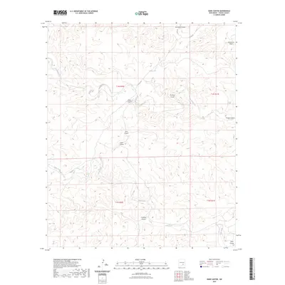
2023 Map of Dark Canyon
USGS Topo · Published 2023About this map
Dagger Lake sits amidst a network of drainage systems in this Chaves County landscape, where the intermittent flow of Crooked Creek and Janey Creek has carved deep relief into the terrain. The map reveals an intricate geography of named arroyos and canyons, including the central Dark Canyon and the surrounding Montoya Canyon and Challenge Canyon. These natural features, along with Monument Canyon to the north, dictate the path of local corridors like Co RD 145 and Co RD 149. While modern infrastructure is sparse, the map provides a precise record of the traditional township and range boundaries, such as t14s r20e and t15s r21e, which have long defined land management and ownership in this section of New Mexico.
Find a feature on this map
17 named features on this map. Tap any name to fly to it.
Don’t see what you’re looking for? This feature index may not catch every label — zoom into the map to look around manually.
Map Details
Editions of this 2023 Dark Canyon Map
This is the sole edition of this map. No revisions or reprints were ever made.
Other maps of this area

1954 · Carlsbad
USGS Topo · 1:250,000

1955 · Roswell
USGS Topo · 1:250,000

1958 · Carlsbad
USGS Topo · 1:250,000

1958 · Roswell
USGS Topo · 1:250,000

1960 · Teel Ranch
USGS Topo · 1:62,500

1961 · Flying H
USGS Topo · 1:62,500

1961 · Indian Bluff
USGS Topo · 1:62,500

1962 · Roswell
USGS Topo · 1:250,000

1962 · Dunken
USGS Topo · 1:62,500

1978 · Artesia
USGS Topo · 1:100,000