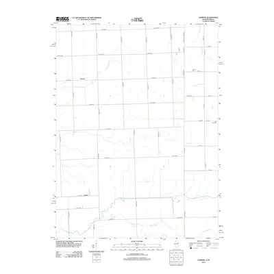
2012 Map of Darrow
USGS Topo · Published 2012About this map
Darrow and Cutmer anchor this agricultural landscape along the Illinois and Indiana border, where the land is defined by an extensive network of drainage infrastructure. The terrain is crisscrossed by an orderly grid of country roads, such as Co Rd-1600 N and N 3000 E Rd, which navigate around a complex system of waterways designed to manage the fertile prairie. Significant man-made channels like Possum Trot Ditch, Sheldon Ditch Number 1, and Salmon Ditch run alongside natural meanders of Sugar Cr and Coon Cr. For those tracing local heritage, the map identifies family-named landmarks including Fleming Cem and Blue Ridge Cem, which serve as quiet markers of the community's early settlement and history amidst the sprawling farmsteads.
Find a feature on this map
48 named features on this map. Tap any name to fly to it.
Don’t see what you’re looking for? This feature index may not catch every label — zoom into the map to look around manually.
Map Details
Editions of this 2012 Darrow Map
This is the sole edition of this map. No revisions or reprints were ever made.
Other maps of this area

1935 · Watseka
USGS Topo · 1:48,000

1938 · Milford
USGS Topo · 1:48,000

1939 · Watseka
USGS Topo · 1:62,500

1944 · Milford
USGS Topo · 1:62,500

1953 · Danville
USGS Topo · 1:250,000

1955 · Danville
USGS Topo · 1:250,000

1956 · Danville
USGS Topo · 1:250,000

1961 · Kentland
USGS Topo · 1:24,000

1962 · Boswell
USGS Topo · 1:24,000

1962 · Earl Park
USGS Topo · 1:24,000