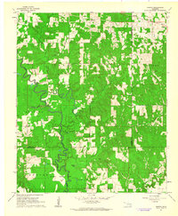
1961 Map of Darwin
USGS Topo · Published 1963About this map
Muddy Boggy Creek defines the landscape of this 1960s Oklahoma study, winding in tight oxbows through a series of managed lands and small rural settlements. The map highlights the extensive footprint of the Mc Leod Honor Farm, which includes the Mc Leod Honor Farm Cutoff and local agricultural sites like the Honor Farm itself. These institutional lands are surrounded by several small communities and landmarks, including the scattered homes of Darwin and Old Farris.
Find a feature on this map
31 named features on this map. Tap any name to fly to it.
Don’t see what you’re looking for? This feature index may not catch every label — zoom into the map to look around manually.
Map Details
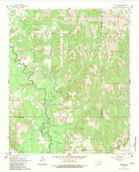
Editions of this 1961 Darwin Map
2 editions found
Other maps of this area

1901 · Antlers
USGS Topo · 1:125,000

1912 · Antlers
USGS Topo · 1:125,000

1925 · Antlers
USGS Topo · 1:125,000

1950 · Mcalester
USGS Topo · 1:250,000

1957 · Farris
USGS Topo · 1:24,000

1957 · Moyers
USGS Topo · 1:24,000

1957 · Lane
USGS Topo · 1:24,000

1961 · Antlers West
USGS Topo · 1:24,000

1962 · McAlester
USGS Topo · 1:250,000

1965 · McAlester
USGS Topo · 1:250,000