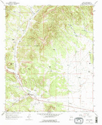
1963 Map of Datil
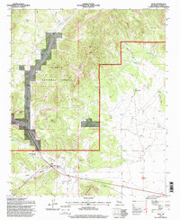
USGS Topo · Published 1967About this map
Datil sits at the junction of remote high-desert canyon systems within the Cibola National Forest. This 1963 survey captures the area when water resources and ranching operations dictated the layout of human presence. Small-scale agricultural and ranching sites like the Ealy Ranch, Jeffers Place, and the Homestead Windmill are scattered along the terrain, while the Datil Cem provides a focal point for genealogical research in this sparsely populated corner of Catron County. The map details the proximity of the White House Canyon to the primary settlement, reflecting the reliance on natural topographical conduits for travel and land use in the mid-20th century. Local resource extraction is noted by the presence of a Borrow Pit and the Schuller Well, indicating the practical infrastructure required to maintain this isolated community.
Find a feature on this map
8 named features on this map. Tap any name to fly to it.
Don’t see what you’re looking for? This feature index may not catch every label — zoom into the map to look around manually.
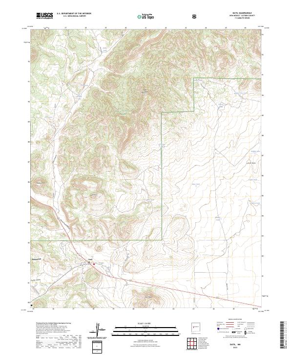
Map Details
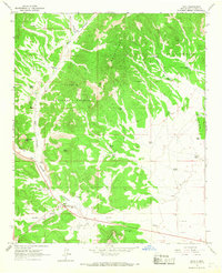
Editions of this 1963 Datil Map
2 editions found