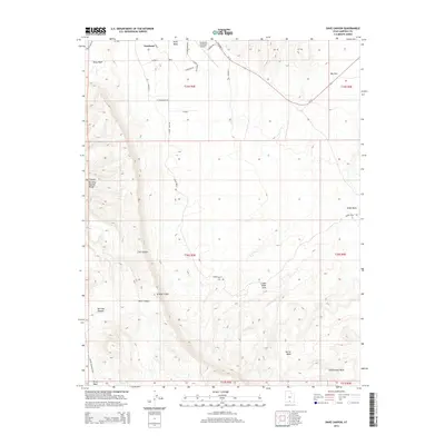
2014 Map of Dave Canyon
USGS Topo · Published 2014About this map
Escalante sits at the northern edge of this high-desert landscape, where the town's street grid meets the expansive terrain of the Straight Cliffs. The area is defined by a complex drainage system including Alvey Wash and Harris Wash, which have carved deep paths through the plateau. This 2014 survey records a network of rural routes such as Smokey Mountain Rd and Cedar Wash Rd that provide access to the interior canyons.
Find a feature on this map
37 named features on this map. Tap any name to fly to it.
Don’t see what you’re looking for? This feature index may not catch every label — zoom into the map to look around manually.
Map Details
Editions of this 2014 Dave Canyon Map
This is the sole edition of this map. No revisions or reprints were ever made.
Other maps of this area

1886 · Escalante
USGS Topo · 1:250,000

1956 · Escalante
USGS Topo · 1:250,000

1960 · Escalante
USGS Topo · 1:250,000

1964 · Tenmile Flat
USGS Topo · 1:24,000

1964 · Dave Canyon
USGS Topo · 1:24,000
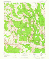
1964 · Calf Creek
USGS Topo · 1:24,000

1964 · Canaan Creek
USGS Topo · 1:24,000

1964 · Seep Flat
USGS Topo · 1:24,000

1964 · Death Ridge
USGS Topo · 1:24,000

1964 · Carcass Canyon
USGS Topo · 1:24,000