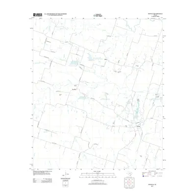
2013 Map of Davilla
USGS Topo · Published 2013About this map
Davilla and the surrounding rural communities of Vilas and Donahoe characterize this part of Milam County, defined by a landscape of creek-fed ranching and scattered family heritage sites. The map reveals an extensive system of water management, specifically numerous Soil Conservation Service Reservoirs designed to control the flow of Donahoe Cr, Alligator Cr, and Darrs Cr. This 2013 survey is particularly valuable for genealogical research, identifying small family-named burial grounds like the Pruett Family Cem, Mumford Cem, and Jackson Cem. Transportation and commerce are tied to the local farm-to-market road network, while the Isbell Ranch Airport and nearby Stigall Lake Number 2 indicate the modern pastoral character of the area. Named landmarks such as Dripping Springs and Science Hill Cem provide concrete geographical anchors for those studying the long-standing settlement patterns of the Texas blackland prairies.
Find a feature on this map
68 named features on this map. Tap any name to fly to it.
Don’t see what you’re looking for? This feature index may not catch every label — zoom into the map to look around manually.
Map Details
Editions of this 2013 Davilla Map
This is the sole edition of this map. No revisions or reprints were ever made.
Other maps of this area

1885 · Taylor
USGS Topo · 1:125,000

1887 · Taylor
USGS Topo · 1:125,000

1894 · Taylor
USGS Topo · 1:125,000

1910 · Buckholts
USGS Topo · 1:24,000

1912 · Buckholts
USGS Topo · 1:31,680

1954 · Austin
USGS Topo · 1:250,000
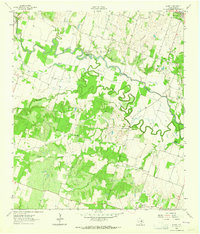
1963 · Sharp
USGS Topo · 1:24,000

1963 · Friendship
USGS Topo · 1:24,000
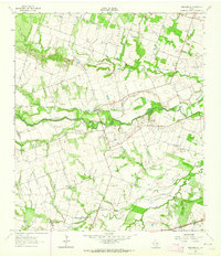
1963 · San Gabriel
USGS Topo · 1:24,000
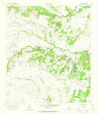
1963 · Davilla
USGS Topo · 1:24,000