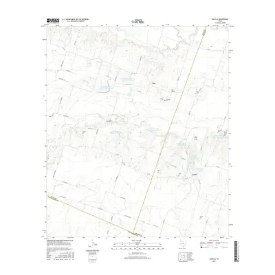
2016 Map of Davilla
USGS Topo · Published 2016About this map
Davilla Cem and the surrounding rural community sit at the intersection of FM 487 and FM 437, representing a long-standing settlement pattern in this corner of Milam County. The landscape is defined by the winding paths of Donahoe Cr and Alligator Cr, which are punctuated by numerous water management features like the Soil Conservation Service Site 8 Reservoir. Small family and community burial grounds, including the Pruett Family Cem and Science Hill Cem, are scattered throughout the agricultural parcels, offering valuable points of interest for genealogists tracking early residents. The area's transition from open ranching to managed water resources is evident in the named lakes such as Neusch Lake Number 1 and Stigall Lake Number One, while the small settlement of Vilas remains a distinct marker in the northern section of the survey.
Find a feature on this map
70 named features on this map. Tap any name to fly to it.
Don’t see what you’re looking for? This feature index may not catch every label — zoom into the map to look around manually.
Map Details
Editions of this 2016 Davilla Map
This is the sole edition of this map. No revisions or reprints were ever made.
Other maps of this area

1885 · Taylor
USGS Topo · 1:125,000

1887 · Taylor
USGS Topo · 1:125,000

1894 · Taylor
USGS Topo · 1:125,000

1910 · Buckholts
USGS Topo · 1:24,000

1912 · Buckholts
USGS Topo · 1:31,680

1954 · Austin
USGS Topo · 1:250,000
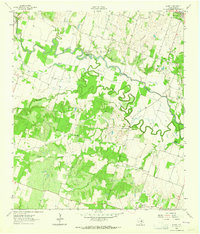
1963 · Sharp
USGS Topo · 1:24,000

1963 · Friendship
USGS Topo · 1:24,000
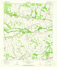
1963 · San Gabriel
USGS Topo · 1:24,000
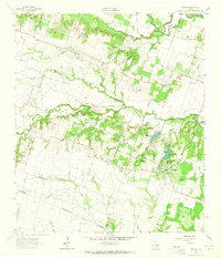
1963 · Davilla
USGS Topo · 1:24,000