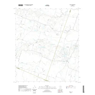
2019 Map of Davilla
USGS Topo · Published 2019About this map
The Little River meanders through the northern reaches of this Central Texas landscape where the borders of Bell, Milam, and Williamson counties converge. Settled agricultural lands dominate the area surrounding Davilla, a community defined by its network of rural roads and numerous family burial grounds. The high concentration of cemeteries, including the Science Hill Cem, Jackson Cem, and Pruett Family Cem, speaks to a deep generational connection to these ranching and farming tracts. Water management is a visible priority across the terrain, evidenced by several reservoirs such as Soil Conservation Service Site 7 Reservoir and Stigall Lake Number One. To the northwest, the settlement of Vilas sits near the headwaters of Donahoe Cr, while the Isbell Ranch Airport serves as a modern waypoint amidst traditional homesteads and land divisions.
Find a feature on this map
70 named features on this map. Tap any name to fly to it.
Don’t see what you’re looking for? This feature index may not catch every label — zoom into the map to look around manually.
Map Details
Editions of this 2019 Davilla Map
This is the sole edition of this map. No revisions or reprints were ever made.
Other maps of this area

1885 · Taylor
USGS Topo · 1:125,000

1887 · Taylor
USGS Topo · 1:125,000

1894 · Taylor
USGS Topo · 1:125,000

1910 · Buckholts
USGS Topo · 1:24,000

1912 · Buckholts
USGS Topo · 1:31,680

1954 · Austin
USGS Topo · 1:250,000
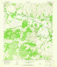
1963 · Sharp
USGS Topo · 1:24,000

1963 · Friendship
USGS Topo · 1:24,000
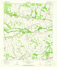
1963 · San Gabriel
USGS Topo · 1:24,000
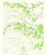
1963 · Davilla
USGS Topo · 1:24,000