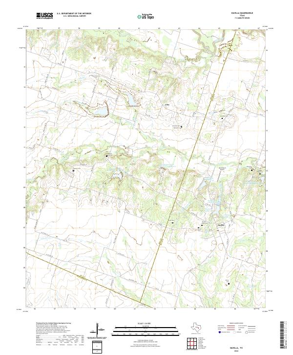
2022 Map of Davilla
USGS Topo · Published 2022About this map
Davilla and Vilas anchor this landscape along the border of Bell and Milam counties, where the Blackland Prairie begins to transition into the clay-heavy soils of the Post Oak Savannah. For genealogists, the map provides an exceptional density of family-named burial sites, from the Davilla Black Cem and Davilla Cem to the Pruett Family Cem and the Science Hill Cem. This area is defined by its complex drainage network, where the waters of Donahoe Cr and Alligator Cr wind through farmland.
Find a feature on this map
74 named features on this map. Tap any name to fly to it.
Don’t see what you’re looking for? This feature index may not catch every label — zoom into the map to look around manually.
Map Details
Editions of this 2022 Davilla Map
This is the sole edition of this map. No revisions or reprints were ever made.
Other maps of this area

1885 · Taylor
USGS Topo · 1:125,000

1887 · Taylor
USGS Topo · 1:125,000

1894 · Taylor
USGS Topo · 1:125,000

1910 · Buckholts
USGS Topo · 1:24,000

1912 · Buckholts
USGS Topo · 1:31,680

1954 · Austin
USGS Topo · 1:250,000
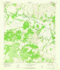
1963 · Sharp
USGS Topo · 1:24,000

1963 · Friendship
USGS Topo · 1:24,000
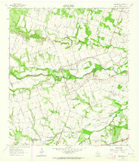
1963 · San Gabriel
USGS Topo · 1:24,000
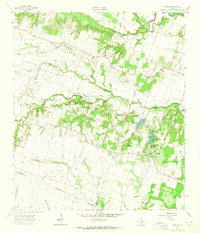
1963 · Davilla
USGS Topo · 1:24,000