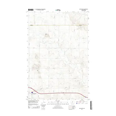
2014 Map of Davis Buttes
USGS Topo · Published 2014About this map
Dickinson serves as the focal point of this North Dakota landscape, where the city’s industrial and transit corridors expand eastward toward the Stark County line. The modern economic infrastructure is visible through the development along E Industrial Dr, Energy Dr, and Lehigh Dr, reflecting the region’s role in energy and transportation near Bus Loop 94 E and Highway 10.
Find a feature on this map
31 named features on this map. Tap any name to fly to it.
Don’t see what you’re looking for? This feature index may not catch every label — zoom into the map to look around manually.
Map Details
Editions of this 2014 Davis Buttes Map
This is the sole edition of this map. No revisions or reprints were ever made.
Other maps of this area

1953 · Dickinson
USGS Topo · 1:250,000

1953 · Watford City
USGS Topo · 1:250,000

1957 · Dickinson
USGS Topo · 1:250,000

1957 · Watford City
USGS Topo · 1:250,000

1959 · Dickinson North
USGS Topo · 1:24,000

1959 · Dickinson South
USGS Topo · 1:24,000

1959 · Lehigh
USGS Topo · 1:24,000

1962 · Davis Buttes
USGS Topo · 1:24,000

1967 · Watford City
USGS Topo · 1:250,000

1973 · Boyle
USGS Topo · 1:24,000