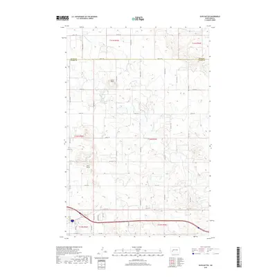
2018 Map of Davis Buttes
USGS Topo · Published 2018About this map
The rolling prairies of North Dakota's southwestern plains are prominently defined by the Davis Buttes and the nearby Simon Butte, which rise above a landscape carved by the Green River and its tributary, Russian Spring Cr. This 2018 survey documents the section lines and rural road network north of Dickinson, where the border between Dunn Co and Stark Co cuts across the northern reaches of the quadrangle. The map reveals the structured township and range system that dictates the placement of the east-west corridors, from 29th St SW down to 36th St SW. Further south, the map captures the transition into more developed infrastructure near the urban fringe, including the southern terminus along E Villard St. The hydrological patterns of the region are clearly marked, showing the seasonal nature of the smaller drainages that feed into the larger river system.
Find a feature on this map
22 named features on this map. Tap any name to fly to it.
Don’t see what you’re looking for? This feature index may not catch every label — zoom into the map to look around manually.
Map Details
Editions of this 2018 Davis Buttes Map
This is the sole edition of this map. No revisions or reprints were ever made.
Other maps of this area

1953 · Dickinson
USGS Topo · 1:250,000

1953 · Watford City
USGS Topo · 1:250,000

1957 · Dickinson
USGS Topo · 1:250,000

1957 · Watford City
USGS Topo · 1:250,000

1959 · Dickinson North
USGS Topo · 1:24,000

1959 · Dickinson South
USGS Topo · 1:24,000

1959 · Lehigh
USGS Topo · 1:24,000

1962 · Davis Buttes
USGS Topo · 1:24,000

1967 · Watford City
USGS Topo · 1:250,000

1973 · Boyle
USGS Topo · 1:24,000