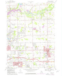
1969 Map of Davison
USGS Topo · Published 1976About this map
Davison emerges as a bustling hub in the late 1960s and 1970s, defined by its schools and expanding residential layout east of Flint. The landscape is a mix of educational infrastructure and natural preservation, featuring sites like For-Mar Nature Preserve and the Genesee Recreation Area along the Flint River. The presence of numerous specialized institutions, such as Blessed Sacrament Sch and Holy Rosary High Sch, reflects the community's mid-century growth.
Find a feature on this map
54 named features on this map. Tap any name to fly to it.
Don’t see what you’re looking for? This feature index may not catch every label — zoom into the map to look around manually.
Map Details
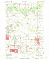
Editions of this 1969 Davison Map
2 editions found
Other maps of this area

1920 · Flint
USGS Topo · 1:62,500

1920 · Holly
USGS Topo · 1:62,500

1922 · Holly
USGS Topo · 1:62,500

1922 · Flint
USGS Topo · 1:62,500

1943 · Holly
USGS Topo · 1:62,500

1943 · Flint
USGS Topo · 1:62,500

1945 · Hadley
USGS Topo · 1:24,000

1954 · Detroit
USGS Topo · 1:250,000

1954 · Flint
USGS Topo · 1:250,000

1958 · Flint
USGS Topo · 1:250,000