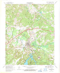
1968 Map of Dawson Springs
USGS Topo · Published 1989About this map
Dawson Springs serves as the focal point of this survey, situated at the junction of the Tradewater River and the Illinois Central Railroad. The landscape reflects a mix of civic infrastructure and rural community life, featuring the sprawling Outwood Hospital south of town and the University of Kentucky 4-H Camp to the north. These institutions, alongside the residential growth at Lakeshore, indicate a region transitioning toward recreation and public service by the late 1960s.
Find a feature on this map
69 named features on this map. Tap any name to fly to it.
Don’t see what you’re looking for? This feature index may not catch every label — zoom into the map to look around manually.
Map Details
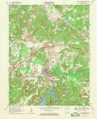
Editions of this 1968 Dawson Springs Map
2 editions found
Other maps of this area

1907 · Earlington
USGS Topo · 1:48,000

1908 · Princeton
USGS Topo · 1:62,500

1909 · Dawson Springs
USGS Topo · 1:48,000

1909 · Earlington
USGS Topo · 1:62,500

1909 · Providence
USGS Topo · 1:62,500

1910 · Princeton
USGS Topo · 1:62,500

1911 · Dawson Springs
USGS Topo · 1:62,500

1953 · Dawson Springs SE
USGS Topo · 1:24,000

1953 · Dawson Springs SW
USGS Topo · 1:24,000

1954 · Evansville
USGS Topo · 1:250,000