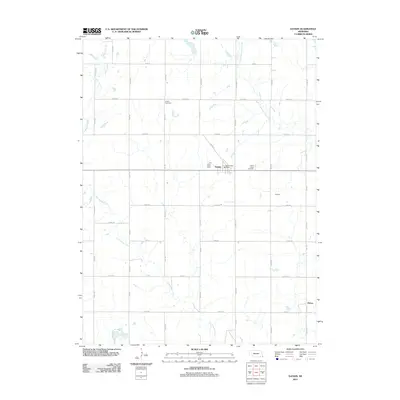
2011 Map of Daykin
USGS Topo · Published 2011About this map
Daykin occupies the center of this Jefferson County landscape, serving as a hub for the surrounding agricultural grid. The village is anchored by the Daykin Post Office and street layouts like Marie St, reflecting its role as a local center of commerce and community in the early 21st century. The surrounding countryside is defined by a dense network of sectional roads, including 725th Rd and 561st Ave, which navigate the drainage basins of several prominent waterways.
Find a feature on this map
34 named features on this map. Tap any name to fly to it.
Don’t see what you’re looking for? This feature index may not catch every label — zoom into the map to look around manually.
Map Details
Editions of this 2011 Daykin Map
This is the sole edition of this map. No revisions or reprints were ever made.
Other maps of this area

1955 · Lincoln
USGS Topo · 1:250,000

1957 · Lincoln
USGS Topo · 1:250,000

1958 · Lincoln
USGS Topo · 1:250,000

1960 · Western SW
USGS Topo · 1:24,000

1960 · Fairbury
USGS Topo · 1:24,000

1960 · Tobias SW
USGS Topo · 1:24,000

1960 · Alexandria
USGS Topo · 1:24,000
1960 · Gladstone
USGS Topo · 1:24,000

1960 · Daykin
USGS Topo · 1:24,000

1961 · Tobias
USGS Topo · 1:24,000