
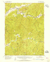
1954 Map of Days Creek
USGS Topo · Published 1956About this map
The South Fork Umpqua River carves a deep path through the southern Oregon mountains, anchoring a region of high ridges and narrow valleys at the midpoint of the 1950s. The small settlements of Days Creek and Milo serve as focal points for a landscape defined by timber and early infrastructure, including the Lavadoure Community Hall and the high-elevation Bland Mtn Lookout. The map reveals a network of rural education and industry, from the Galesville School and Anchor School to the Mallery Mine and various placer mining sites near the Cow Creek drainage. Within the Umpqua National Forest, the terrain rises toward significant landmarks like Castle Rock and Red Mtn, while the confluence of Stouts Creek and Lavadoure Creek illustrates the complex hydrology that supported these isolated communities before modern development altered the rural character of Douglas County.
Find a feature on this map
75 named features on this map. Tap any name to fly to it.
Don’t see what you’re looking for? This feature index may not catch every label — zoom into the map to look around manually.
Map Details
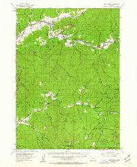
Editions of this 1954 Days Creek Map
3 editions found
Other maps of this area

1891 · Ashland
USGS Topo · 1:250,000

1893 · Ashland
USGS Topo · 1:250,000

1897 · Roseburg
USGS Topo · 1:125,000

1897 · Ashland
USGS Topo · 1:250,000

1900 · Roseburg
USGS Topo · 1:125,000

1904 · Riddle
USGS Topo · 1:125,000

1943 · Trail
USGS Topo · 1:62,500

1944 · Tiller
USGS Topo · 1:62,500

1954 · Dixonville
USGS Topo · 1:62,500

1954 · Glendale
USGS Topo · 1:62,500