
1962 Map of Daytona Beach SW
USGS Topo · Published 1964About this map
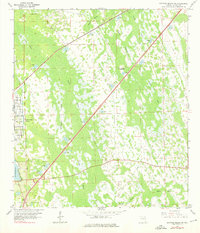
Daytona Park Estates marks the western edge of this 1962 topographical study, showing the residential grid expanding into the Florida interior with roads like Camelia Rd, Iris Road, and Orange Road. East of the developing neighborhood, the landscape transitions into a complex mosaic of wetlands and forested islands. Notable water features include Lake Winnemissett and the smaller Park Lake near the southwestern corner.
Find a feature on this map
27 named features on this map. Tap any name to fly to it.
Don’t see what you’re looking for? This feature index may not catch every label — zoom into the map to look around manually.
Map Details
Editions of this 1962 Daytona Beach SW Map
5 editions found
Other maps of this area

1952 · Samsula
USGS Topo · 1:24,000

1952 · Daytona Beach
USGS Topo · 1:24,000

1954 · Daytona Beach
USGS Topo · 1:250,000

1955 · Orlando
USGS Topo · 1:250,000

1957 · Orlando
USGS Topo · 1:250,000

1958 · Orlando
USGS Topo · 1:250,000

1958 · Daytona Beach
USGS Topo · 1:250,000

1962 · Orlando
USGS Topo · 1:250,000

1962 · Daytona Beach NW
USGS Topo · 1:24,000

1964 · Daytona Beach
USGS Topo · 1:250,000