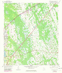
1962 Map of Daytona Beach SW
USGS Topo · Published 1981About this map
Daytona Park Estates stands out as a primary residential development amidst a vast Florida wetland landscape defined by seasonal water and dense vegetation. Surveyed in the early 1960s and updated in 1980, this map reveals a complex drainage network where Deep Creek and Little Haw Creek thread through the McKenzie Islands and Dukes Islands. These "islands" are actually slightly elevated hammocks within the expansive Tiger Bay and Boggy Strand ecosystems.
Find a feature on this map
26 named features on this map. Tap any name to fly to it.
Don’t see what you’re looking for? This feature index may not catch every label — zoom into the map to look around manually.
Map Details
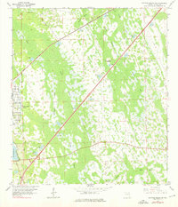
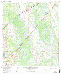
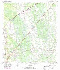
Editions of this 1962 Daytona Beach SW Map
5 editions found
Other maps of this area

1952 · Samsula
USGS Topo · 1:24,000

1952 · Daytona Beach
USGS Topo · 1:24,000

1954 · Daytona Beach
USGS Topo · 1:250,000

1955 · Orlando
USGS Topo · 1:250,000

1957 · Orlando
USGS Topo · 1:250,000

1958 · Orlando
USGS Topo · 1:250,000

1958 · Daytona Beach
USGS Topo · 1:250,000

1962 · Orlando
USGS Topo · 1:250,000

1962 · Daytona Beach NW
USGS Topo · 1:24,000

1962 · Daytona Beach SW
USGS Topo · 1:24,000