2022 Map of De Beque
USGS Topo · Published 2022About this map
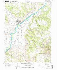
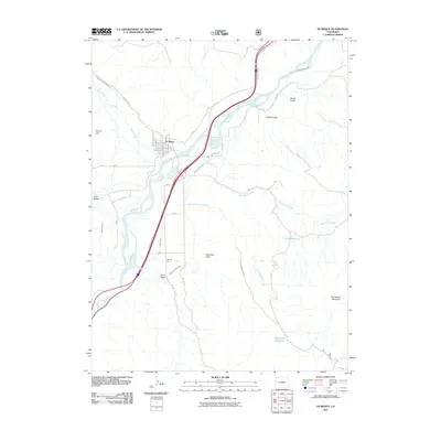
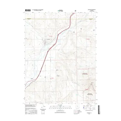
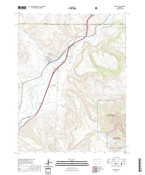
De Beque serves as the central hub of this landscape, situated along the north bank of the Colorado River. The town's grid is clearly defined by streets such as Glenwood Ave and Curtis Ave, with the DeBeque Cem positioned just north of the residential center. This area is characterized by an extensive network of irrigation infrastructure essential for high-desert life, including the Larkin Ditch, Bluestone Valley Ditch, and the Roan Cr Ditch Number 2, which trace the contours of the river valley.
Find a feature on this map
56 named features on this map. Tap any name to fly to it.
Don’t see what you’re looking for? This feature index may not catch every label — zoom into the map to look around manually.
Map Details
Editions of this 2022 De Beque Map
This is the sole edition of this map. No revisions or reprints were ever made.
Historical Maps of De Beque Through Time
6 maps found