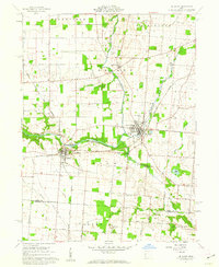
1961 Map of De Graff
USGS Topo · Published 1962About this map
The confluence of the Miami River and Stony Creek serves as the focal point for this 1961 survey, highlighting the rail-dependent growth of Logan County. Two major lines, the New York Central Railroad and the Detroit Toledo and Ironton Railroad, intersect near the village of Quincy, illustrating the logistical importance of this corridor during the mid-20th century. To the northeast, De Graff appears as a significant cluster of development, home to Riverside High Sch and a central Sub Sta.
Find a feature on this map
44 named features on this map. Tap any name to fly to it.
Don’t see what you’re looking for? This feature index may not catch every label — zoom into the map to look around manually.
Map Details
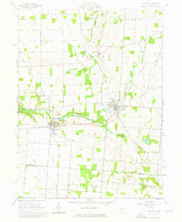
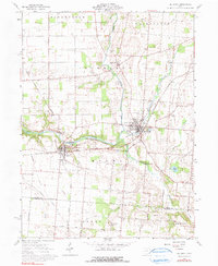
Editions of this 1961 De Graff Map
3 editions found
Other maps of this area

1913 · Bellefontaine
USGS Topo · 1:48,000

1913 · Sidney
USGS Topo · 1:62,500

1914 · Troy
USGS Topo · 1:62,500

1914 · St. Paris
USGS Topo · 1:62,500

1915 · Bellefontaine
USGS Topo · 1:62,500

1916 · St. Paris
USGS Topo · 1:62,500

1944 · Sidney
USGS Topo · 1:62,500

1944 · St. Paris
USGS Topo · 1:62,500

1944 · Troy
USGS Topo · 1:62,500

1944 · Bellefontaine
USGS Topo · 1:62,500